Lot 6092
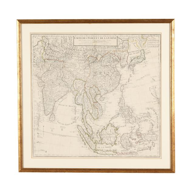
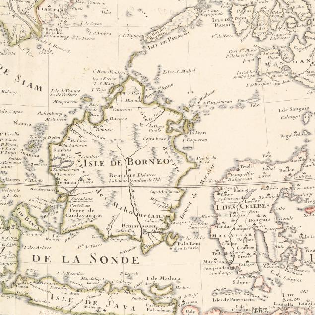
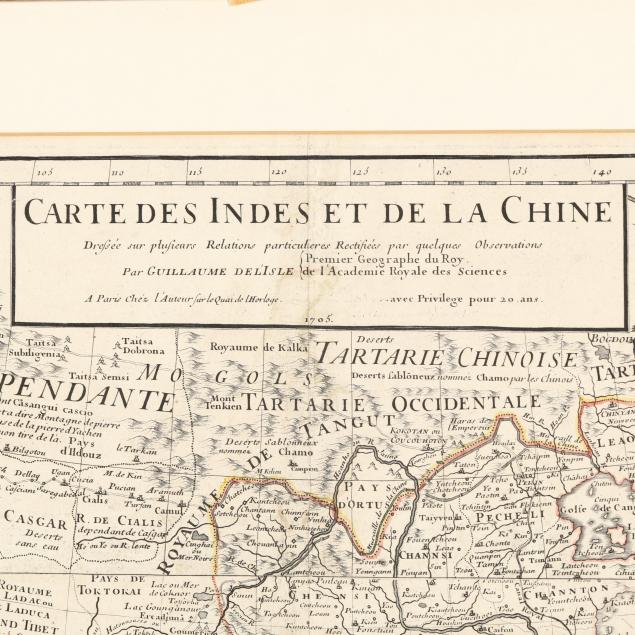
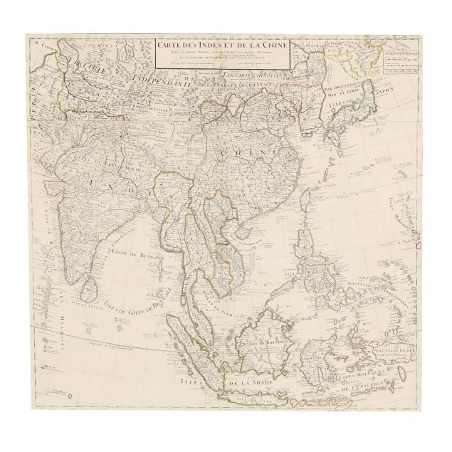
Guillaume Delisle's Detailed Early-18th-Century Map of India and East Asia
Explore more items like this one.
Visit our Historical Department Historical
Lot Details & Additional Photographs
Plate size 24 7/8 x 26; Frame dimensions 31 x 31 1/2 in.
Collection of Mr. John Sylvester, Jr.
Guillaume Delisle was an important French cartographer. He was a member of the Académie Royale des Sciences, and in 1718 was named Premier Géographe du Roi.
Two sheets joined, as issued, with horizontal and vertical folds, scattered very light foxing, a few minor spots, light offsetting, and a small tear at the central fold; not laid down; light wear to frame; not examined fully outside the frame. A lovely and well-presented example.