late-18th-century-map-of-the-coast-of-southeast-asia
Lot 6094

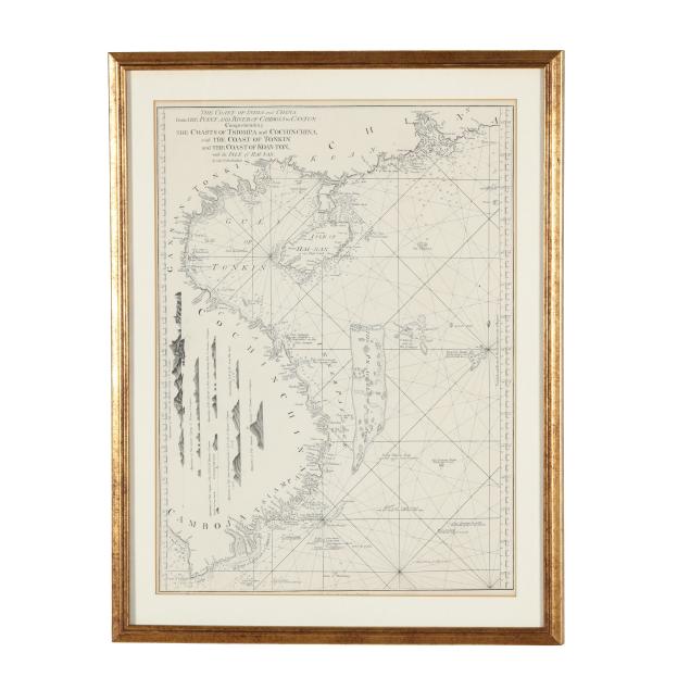
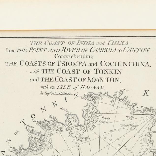
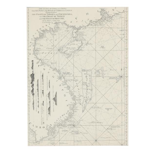
Late-18th-Century Map of the Coast of Southeast Asia

Explore more items like this one.

Visit our Historical Department Historical
Lot Details & Additional Photographs
Captain John Haldane. THE COAST OF INDIA AND CHINA FROM THE POINT AND RIVER OF CAMBOJA TO CANTON COMPREHENDING THE COASTS OF TSIOMPA AND COCHIN CHINA, WITH THE COAST OF TONKIN AND THE COAST OF KOAN-TON, WITH THE ISLE OF HAI-NAN. London: Printed for Robert Sayer, 20th April 1787. Engraved map depicting the coast line of modern day Cambodia, Vietnam, and southern China including Hainan, as well as the Paracel Islands; well-presented matted and in gilt wooden frame.

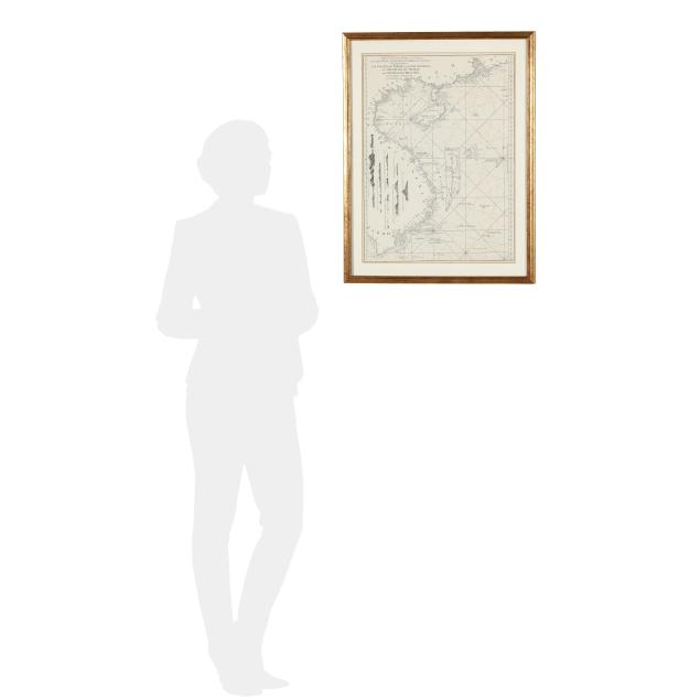
Sight size 23 7/8 x 17 1/2 in.; Frame dimensions 28 5/8 x 22 in.

Collection of Mr. John Sylvester, Jr.

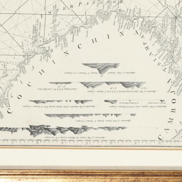
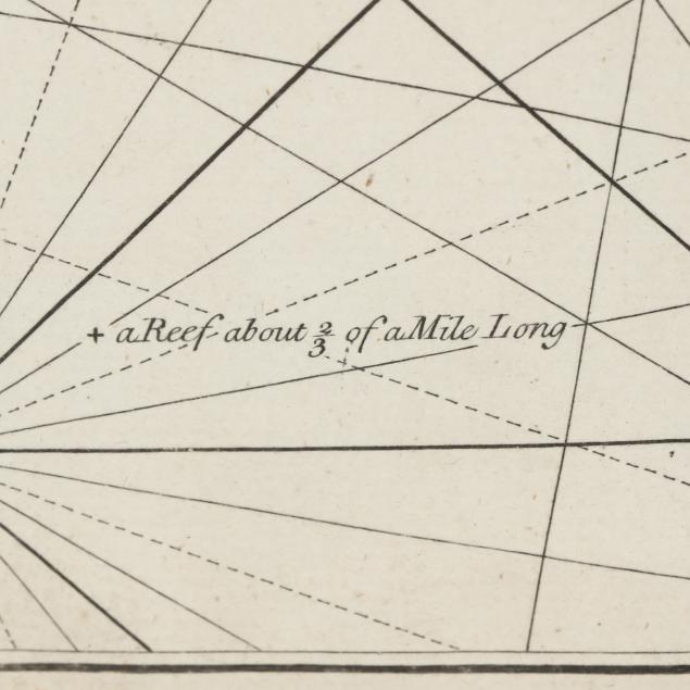
A couple of fairly subtle imperfections to paper, toning to margins, and a few spots of foxing mostly on verso; not laid down; light wear to frame; not examined fully outside the frame.