guillaume-delisle-s-detailed-18th-century-map-of-asia
Lot 6093

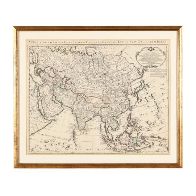
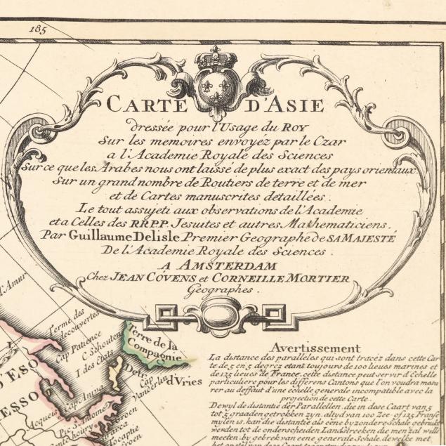
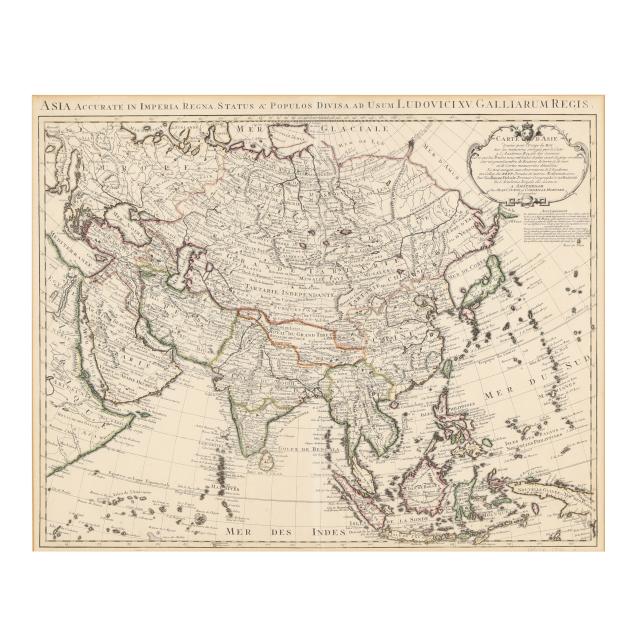
Guillaume Delisle's Detailed 18th-Century Map of Asia

Explore more items like this one.

Visit our Historical Department Historical
Lot Details & Additional Photographs
Guillaume Delisle. CARTE D'ASIE, DRESSEE POUR L'USAGE DU ROY... Amsterdam: Jean Covens and Corneille Mortier, [1742]. Published in Covens and Mortier's Atlas Nouveau; an engraved map, hand-colored in outline, with title cartouche in upper right corner; depicting a small portion of eastern Africa on the left to Japan, Papua New Guinea and all the islands in between on the far right, and from Russia down to the islands of Southeast Asia; well-presented matted and in gilt wooden frame.

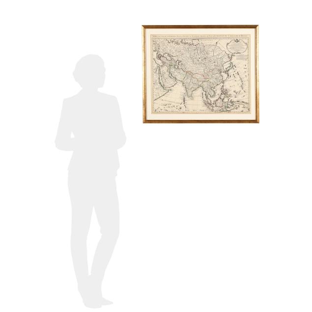
Plate size approximately 19 11/16 x 24 3/8 in.; Frame dimensions 24 1/2 x 29 in.

Collection of Mr. John Sylvester, Jr.

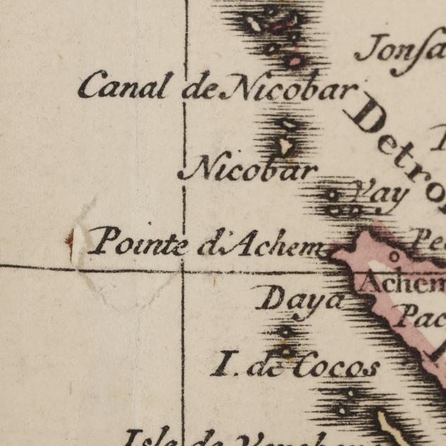
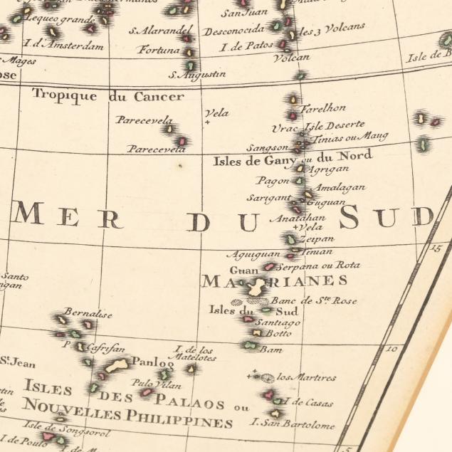
With central fold, as issued; two small tears at the fold, subtle toning at the margins, a few light spots of foxing, and two areas of pencil writing; not examined outside the frame.