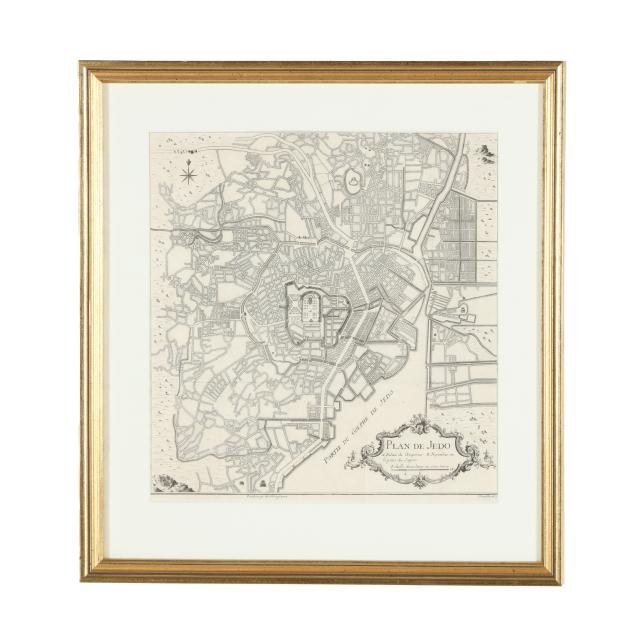
18th-century-plan-of-tokyo
Lot 6096

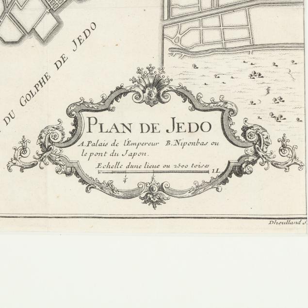
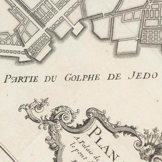
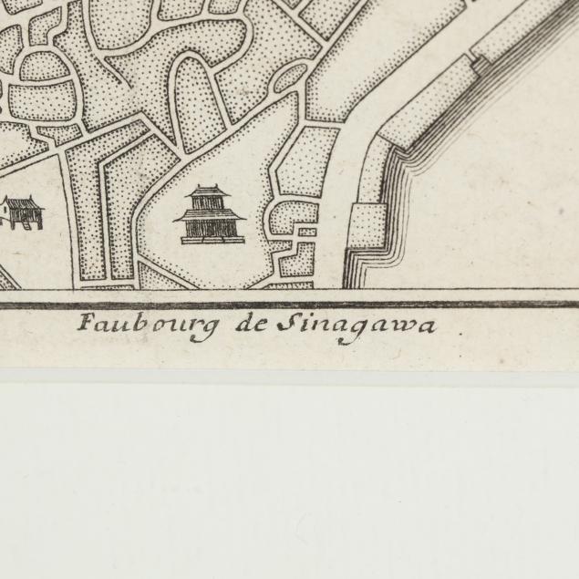
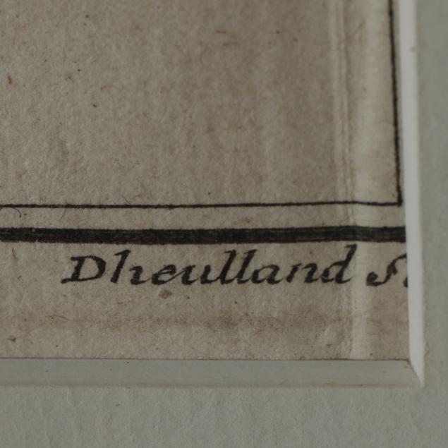
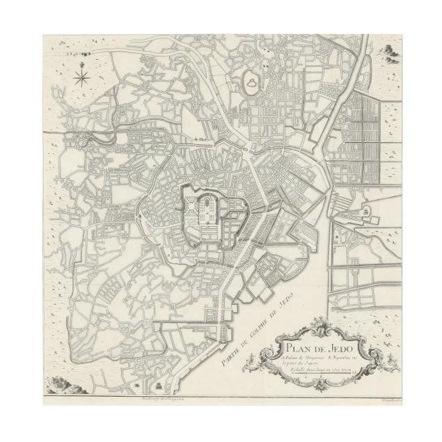
18th-Century Plan of Tokyo

Explore more items like this one.

Visit our Historical Department Historical
Lot Details & Additional Photographs
Jacques Nicolas Bellin. PLAN DE JEDO. Paris, 1736 or after. Engraved by Guillaume Dheulland; folding map from Pierre François Xavier de Charlevoix's Histoire et Description Générale du Japon, depicting the Palace of the Emperor at the center and Nihonbashi (Japan Bridge), labeled "A" and "B" respectively, and with title cartouche at lower right; well-presented matted and in a gilt wooden frame.

Sight size 12 7/8 x 12 5/8 in.; Frame dimensions 18 1/8 x 17 1/2 in.

Collection of Mr. John Sylvester, Jr.

Fold lines and a few minor spots of foxing; light wear to frame; good estate condition; not examined outside the frame.