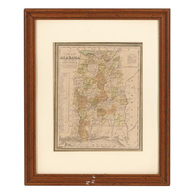
Lot 7099
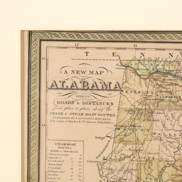
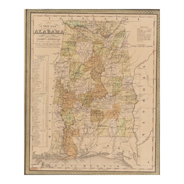
Mitchell's Detailed Map of Alabama
Explore more items like this one.
Visit our Historical Department Historical
Lot Details & Additional Photographs
Sight size 14 1/6 x 11 3/8 in.; Frame dimensions 23 x 18 3/4 in.
From the Estate of the late Susan C. Frankenberg, Hillsborough, North Carolina
Map with toning, a few spots of foxing (mostly at margins), and the margins with expected tears, chips, and general wear to edges; not laid down; frame with light wear, some areas with paint, and without proper backing.