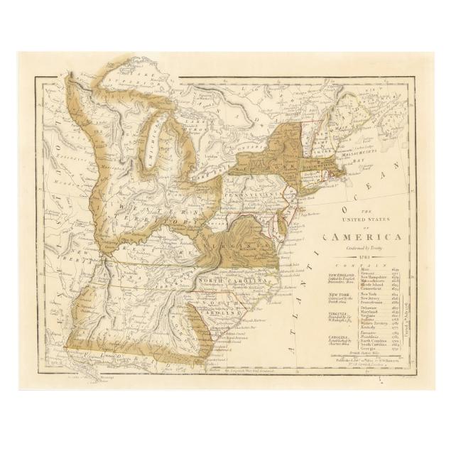
Lot 7098
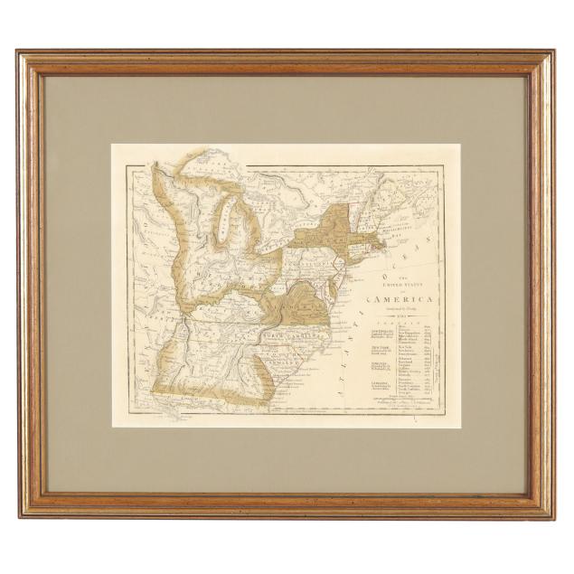
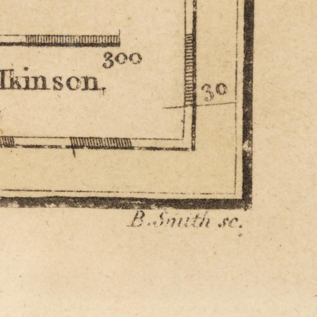
Wilkinson's Map of the United States, With State of Franklin
Explore more items like this one.
Visit our Historical Department Historical
Lot Details & Additional Photographs
Sheet size 10 1/2 x 13 1/8 in.; Frame dimensions 16 3/8 x 18 5/8 in.
From the Estate of the late Susan C. Frankenberg, Hillsborough, North Carolina
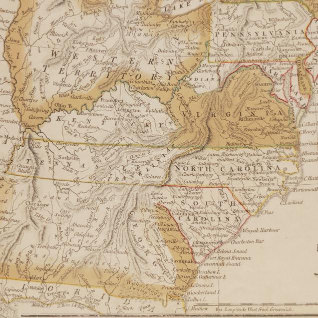
Franklin was a short-lived proposed state in today's eastern Tennessee. Originally formed from land ceded by North Carolina, the State of Franklin never became the 14th state despite efforts made in the mid-1780s. After only a few years, it temporarily fell back under North Carolina's control until the land was surrendered once again, eventually forming part of Tennessee.
Toning, a few spots of foxing, and occasional grime (mostly in margins); some wear to margins including a few spots, light creasing, and faint lines from mat, with some additional wear to upper margin outside plate mark; foxing to verso; not laid down, attached to board with two pieces of tape. A lovely example of this important historical map with the rare inclusion of the State of Franklin.