warren-s-railroad-map-of-the-united-states
Lot 7100

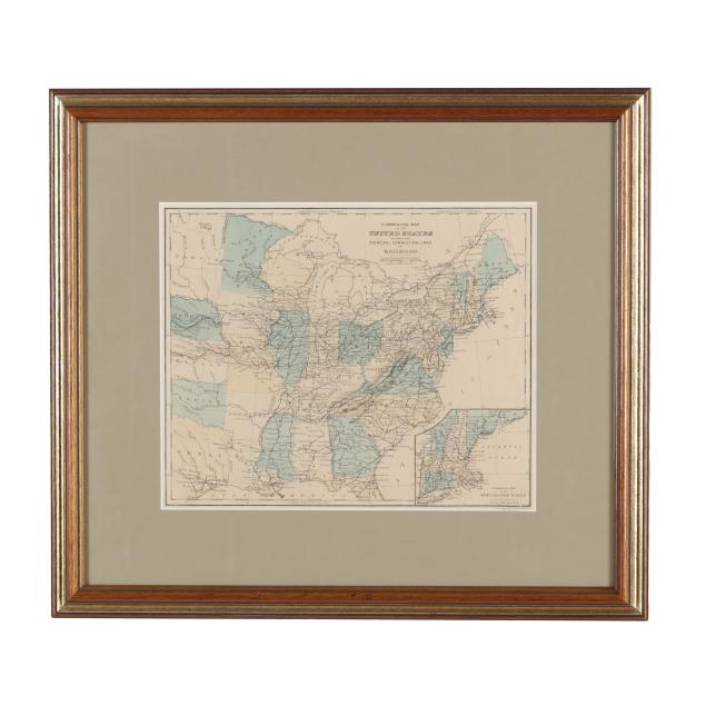
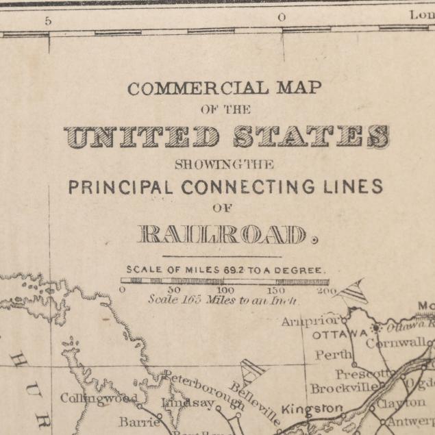
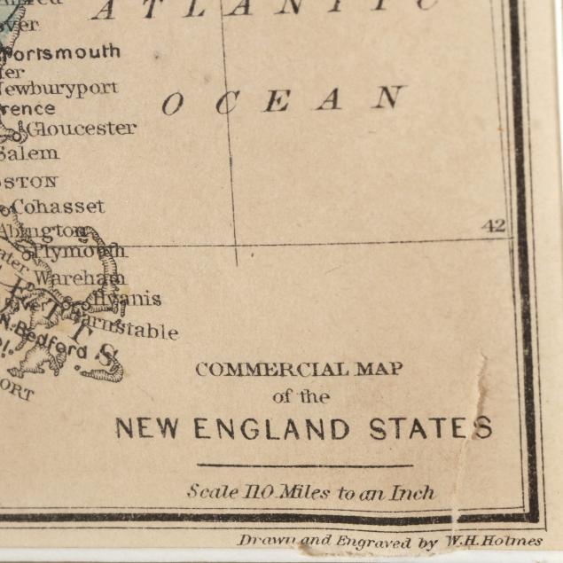
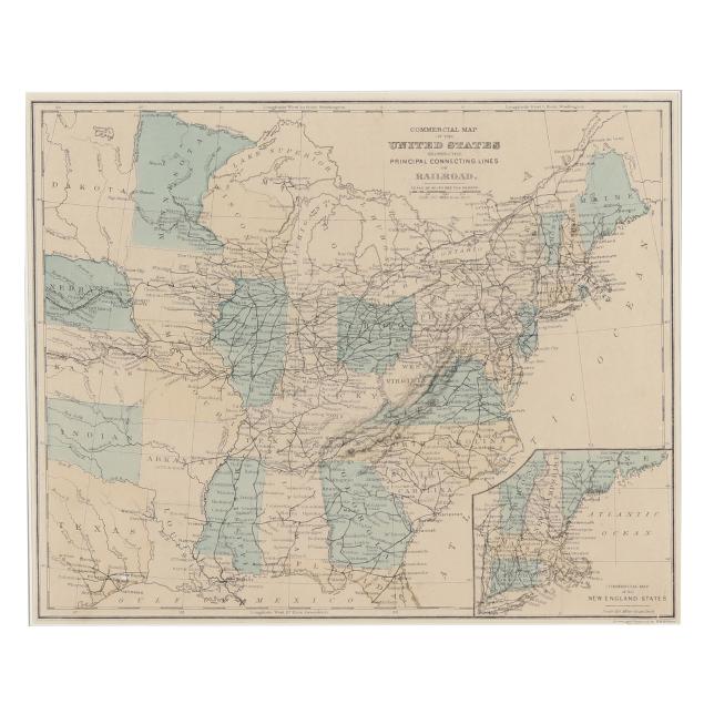
Warren's Railroad Map of the United States

Explore more items like this one.

Visit our Historical Department Historical
Lot Details & Additional Photographs
D. M. Warren. COMMERCIAL MAP OF THE UNITED STATES SHOWING THE PRINCIPAL CONNECTING LINES OF RAILROAD. Circa 1870s. Drawn and engraved by W. H. Holmes; from Warren's Common-School Geography; featuring details such as railroad lines, towns, cities, and rivers from Texas, Kansas, Nebraska, and Dakota in the West to the Eastern Seaboard, and down to northern Florida, with an inset commercial map of the New England States in the lower right corner; presented matted and framed.

Image size 8 3/4 x 10 3/4 in.; Frame dimensions 15 9/16 x 17 5/8 in.

From the Estate of the late Susan C. Frankenberg, Hillsborough, North Carolina

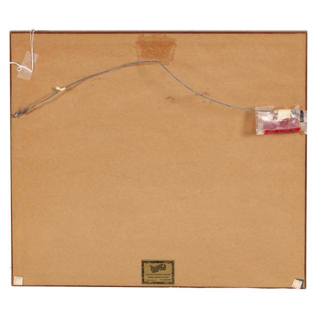
Overall and mostly even toning, a few subtle spots of foxing, a couple of minor creases, and a small tear in the lower right corner; not examined outside the frame.