Lot 6068
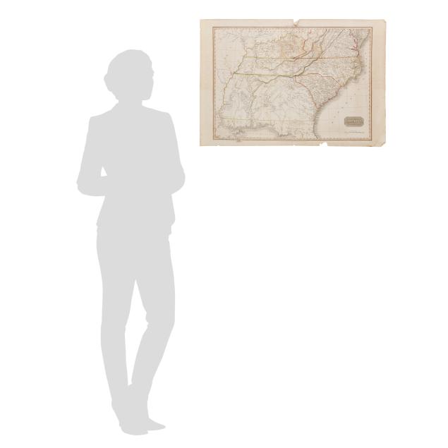
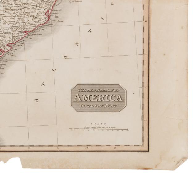
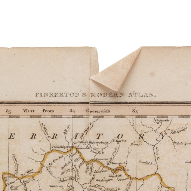
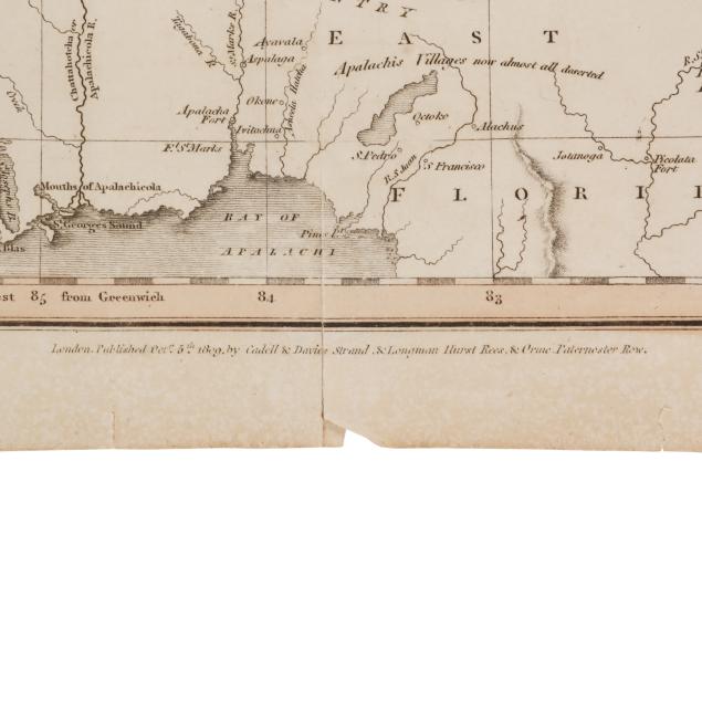
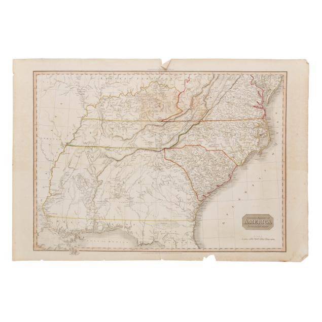
Pinkerton's Early-19th-Century Map of the Southern United States
Explore more items like this one.
Visit our Historical Department Historical
Lot Details & Additional Photographs
Sheet size 22 1/4 x 32 1/2 in.
From a Private Outer Banks Collection
Per the consignor, previously part of the collection of Outer Banks historian, author, and realtor David Stick (1919-2009).
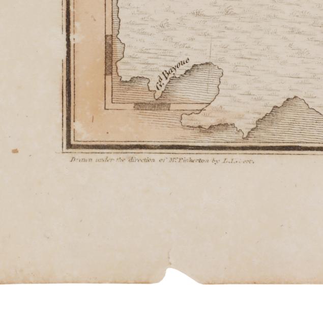
Center fold line, as issued, reinforced on verso, with a couple of inches of separation starting from margins; map with toning (heavier on verso), scattered spotting (mostly in margins), a few small stains, areas of browning including at the center (heaviest around the area of eastern Kentucky), light offsetting, minor creases, and damp staining at one corner; margins with tears and chips.