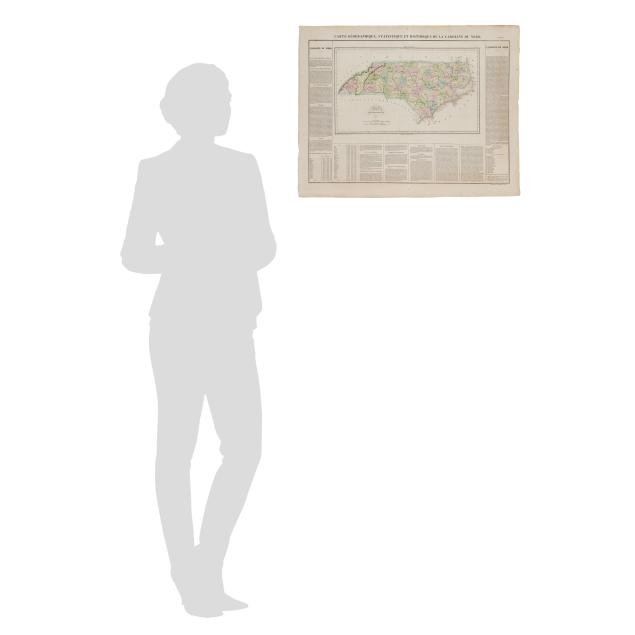
Lot 6070
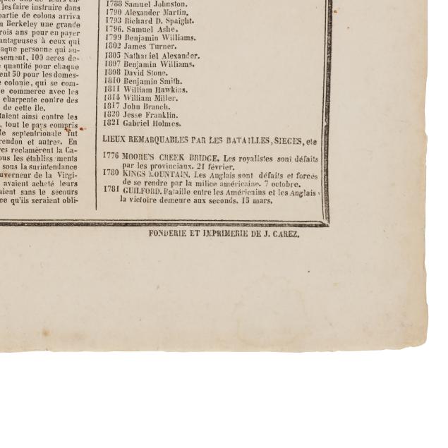
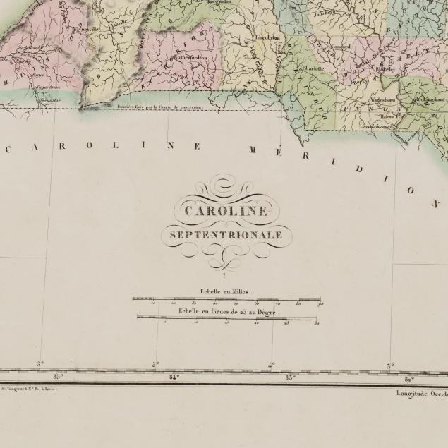
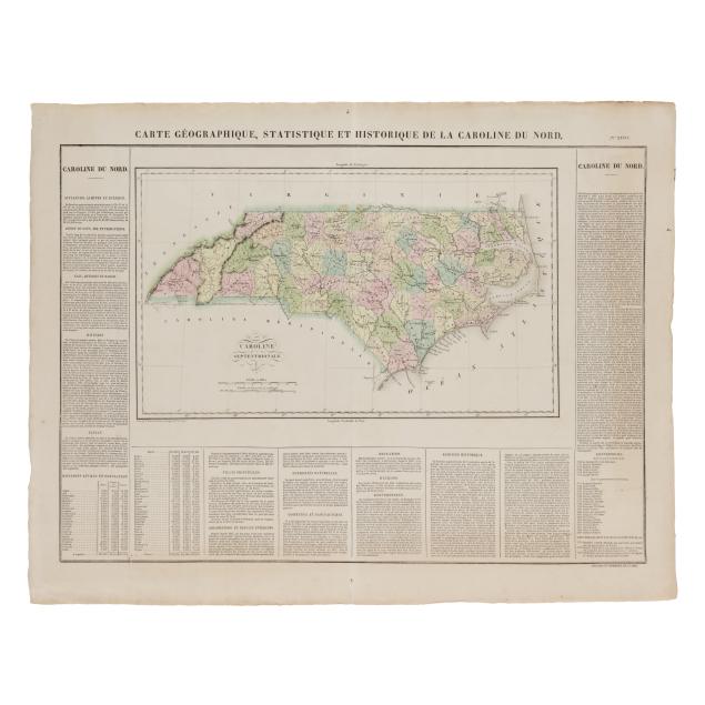
Large Early French Map of North Carolina
Explore more items like this one.
Visit our Historical Department Historical
Lot Details & Additional Photographs
Sheet size 21 x 27 in.
From a Private Outer Banks Collection
Per the consignor, previously part of the collection of Outer Banks historian, author, and realtor David Stick (1919-2009).
With central fold, as issued, with slight separation at fold starting in margins; some toning to edges and a couple of faint areas of browning; scattered very light foxing and mostly minor stains and marks concentrated at margins, with one small but slightly more noticeable area of discoloration on the map on either side of the fold; the margins with two small attachment holes, a few small tears, light creasing, and minor corner folds; verso with glue and some paper residue along the fold. A nice example of this early European map of the state.