Lot 6073
Two Detailed Reconstruction Era Maps of the Carolinas
Explore more items like this one.
Visit our Historical Department Historical
Lot Details & Additional Photographs
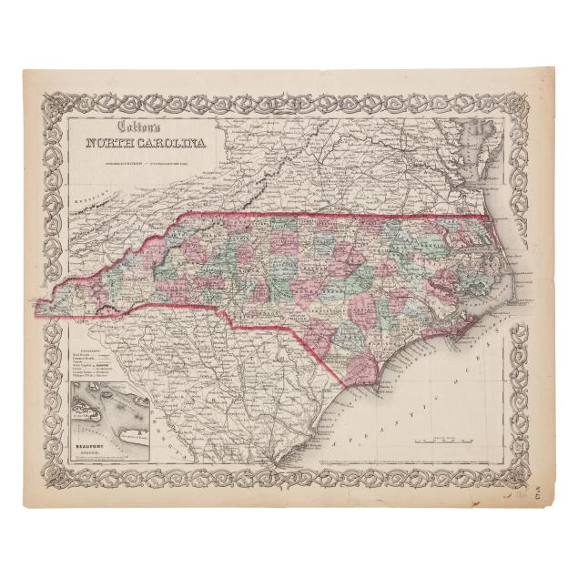
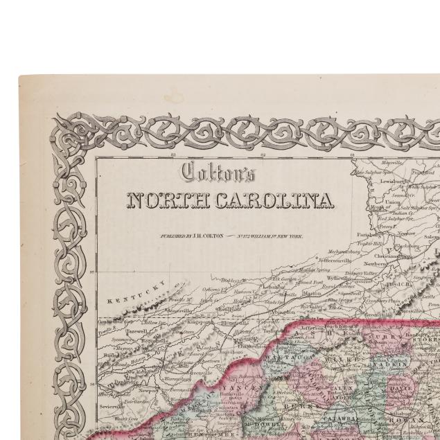
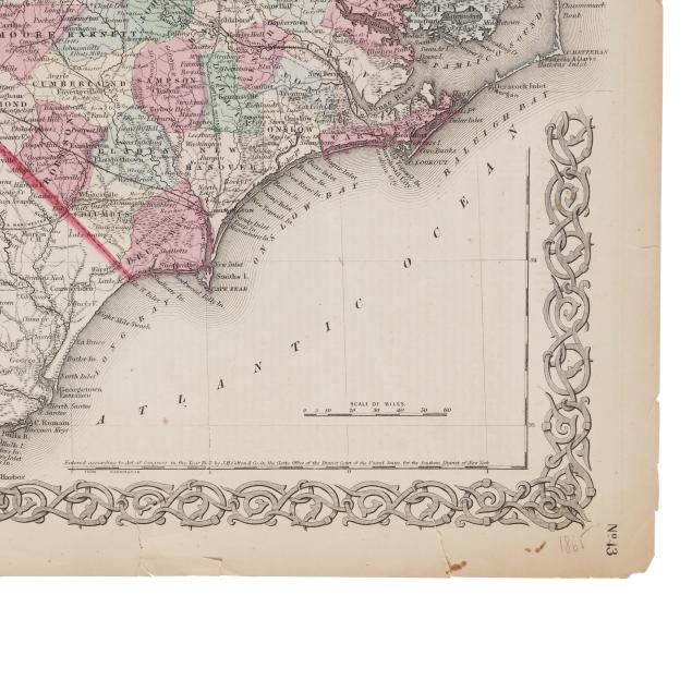
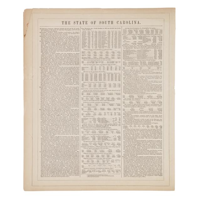
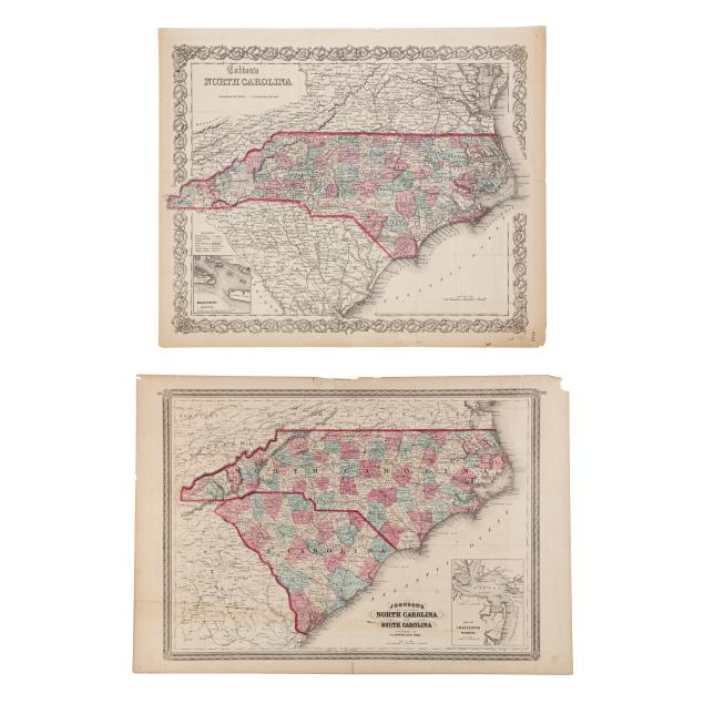
G. W. Colton. COLTON'S NORTH CAROLINA. New York: J.H. Colton, [1865]. A detailed map from Colton's General Atlas; with hand-colored outline and coloring by county, decorative border, and inset map of Beaufort; text "The State of South Carolina" on verso; unframed. Sheet size 14 1/8 x 17 1/8 in. (Light age toning, two diagonal fold lines, minor creasing, browning to one corner, and one minor spot, otherwise wear remains in the margins where there are tears, a couple of minor chips, and small stains, with the exception of two tears merging into the border and one long tear approaching the second "A" in Atlantic.)
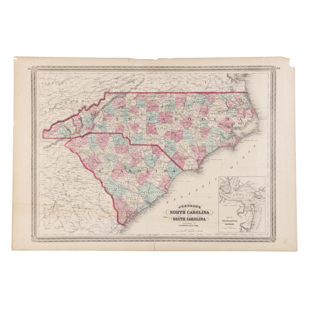
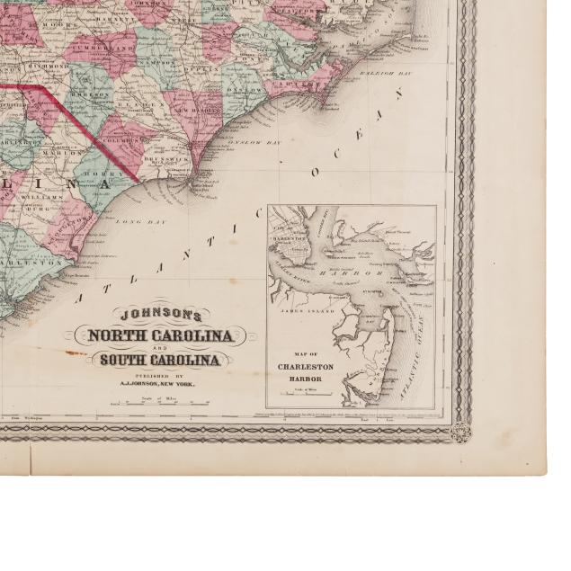
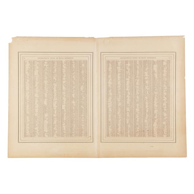
A[lvin] J[ewett] Johnson. JOHNSON'S NORTH CAROLINA AND SOUTH CAROLINA. New York: A. J. Johnson, [1870]. From Johnson's New Illustrated Family Atlas of the World. Double-page map with hand-coloring and outlines distinguishing between states and counties, an inset map of Charleston harbor, and Johnson's decorative "spirograph" border; text "Geographical Index" on verso; unframed. Sheet size 18 1/6 x 26 5/8 in. (Center fold line, as issued, with some separation along the fold starting at margins, and light wear to reinforcement at fold on verso; age toning, scattered stains, a few spots of foxing, and brown lines running along the lower portion of the map; margins with tiny attachment holes in the corners and some tears and chips.)
From a Private Outer Banks Collection
Per the consignor, previously part of the collection of Outer Banks historian, author, and realtor David Stick (1919-2009).