Lot 3012
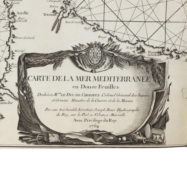
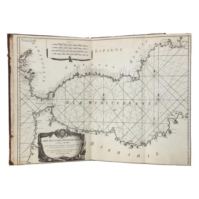
A Scarce Bound and Complete Set of Joseph Roux’s Mediterranean Sea Charts
Explore more items like this one.
Visit our Historical Department Historical
Lot Details & Additional Photographs
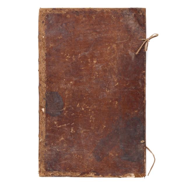
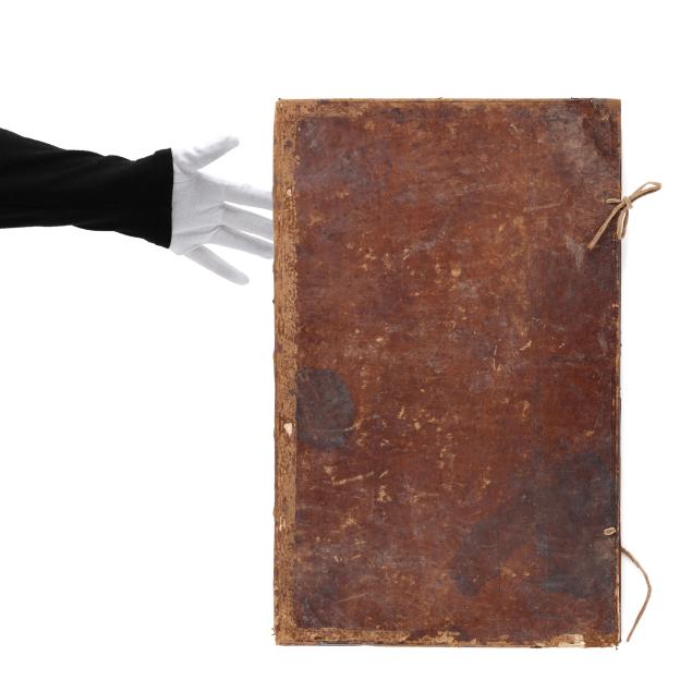
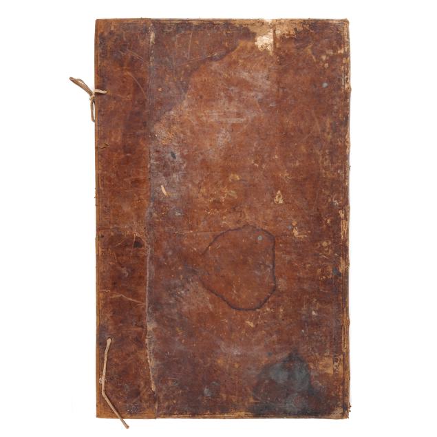
Folio 22 3/4 x 14 in.
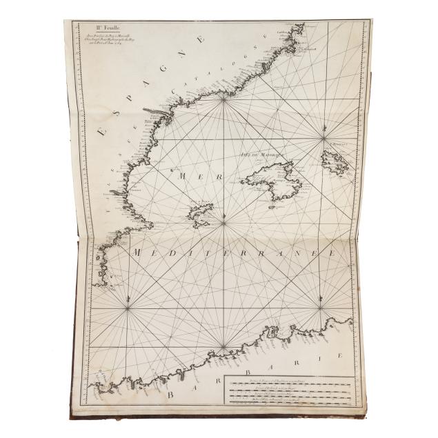
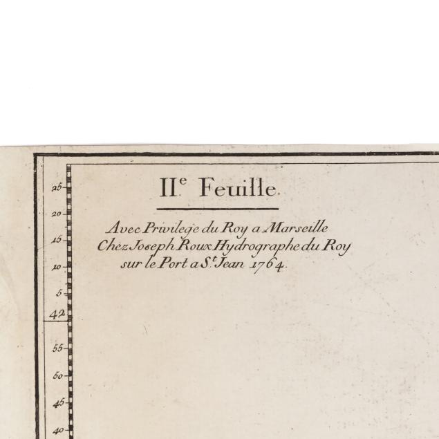
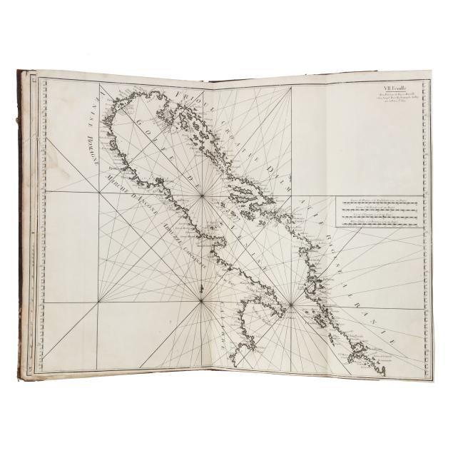
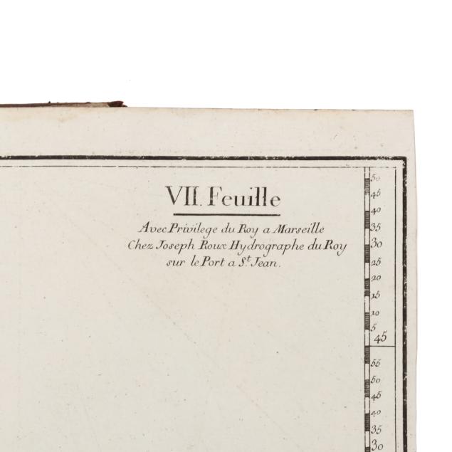
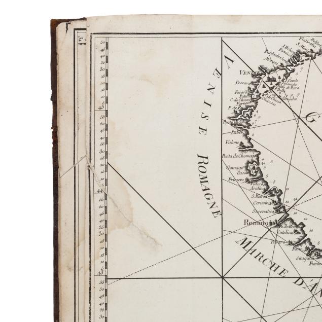
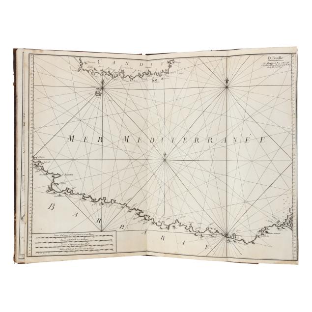
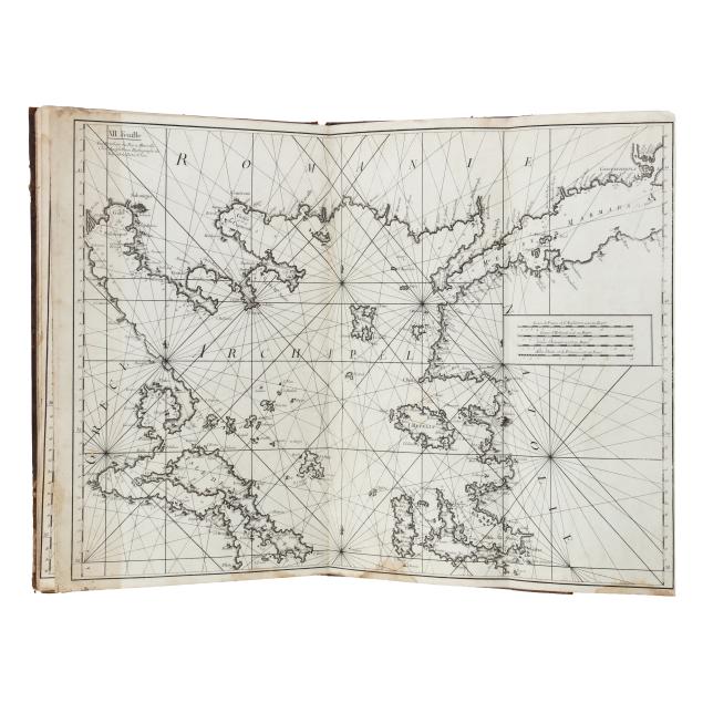
The twelve maps of the Mediterranean include the following: the western Mediterranean; the east coast of Spain and the Balearic Islands; the south coast of France and Corsica; parts of Corsica, Sardinia, Sicily, and the Italian coast; Sardinia and part of the north African coast; Sicily and part of the north African coast; the Adriatic; parts of Greece and the north African coast; parts of Crete and the north African coast; Cyprus and the near East; Crete and the Aegean; and parts of the Greek coast, the Aegean, and Turkey. A copy was used by Royal Naval officer Thomas Atkinson on HMS Victory in 1803 and 1805, and it may have also been used on HMS Theseus in 1798 as well (Howse & Sanderson, The Sea Chart, p. 91). The maps can be joined together to create a large wall map, but are typically found bound together.
Joseph Roux (1725-1793) was a French cartographer and royal hydrographer. Living in the port town of Marseille, he sold navigational instruments, published sea charts, and was known as a painter of ships. Many members of the Roux family, including Joseph's son and grandchildren, were important marine painters. In addition to Roux's twelve charts, he also sold a popular related atlas the same year that featured more than one hundred Mediterranean ports and harbors.
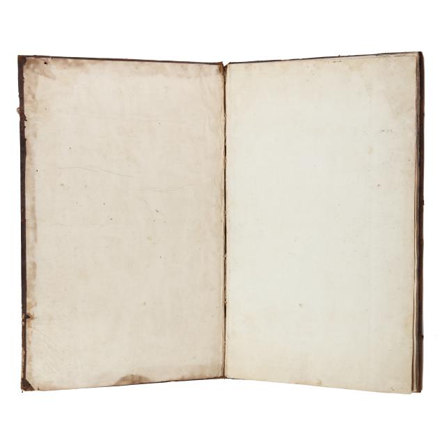
Boards sturdy but with insect damage, damp staining, soiling, rubbing and scuffing, repairs, and slight bowing; one tie trimmed short and one lacking; wear to paste-downs, hinge cracking, and areas of gutter cracking; maps with damp staining throughout, with occasional insignificant spotting, areas of browning, ink transfer, and light wear from binding, folding, or use, and with rare mark, small corner loss, or minor tear; a couple of maps partially detached, one with a 4-in. tear partially repaired, and the final map with one end a bit darkened as seems typical; maps overall extremely bright and present strong and saturated impressions. Scarce at auction, especially complete, and found in just a handful of institutions per WorldCat at time of review.