Lot 3066
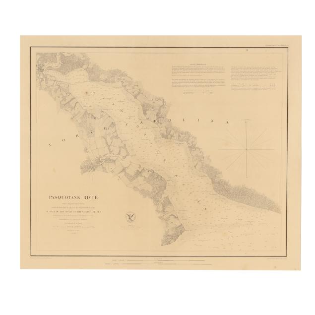
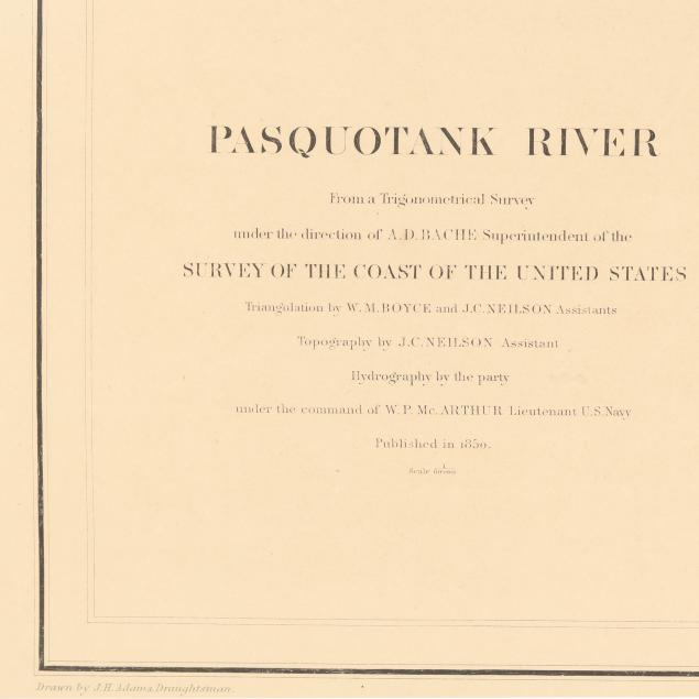
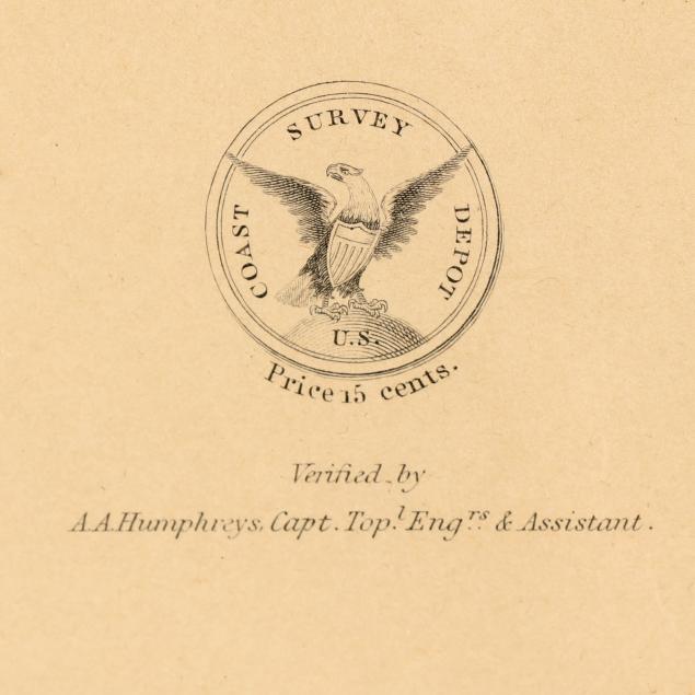
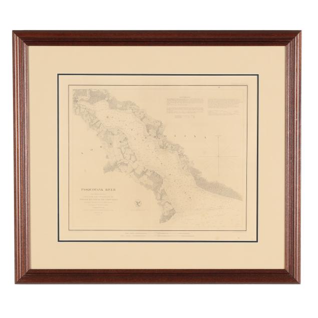
U.S. Coast Survey Map of North Carolina's Pasquotank River
Explore more items like this one.
Visit our Historical Department Historical
Lot Details & Additional Photographs
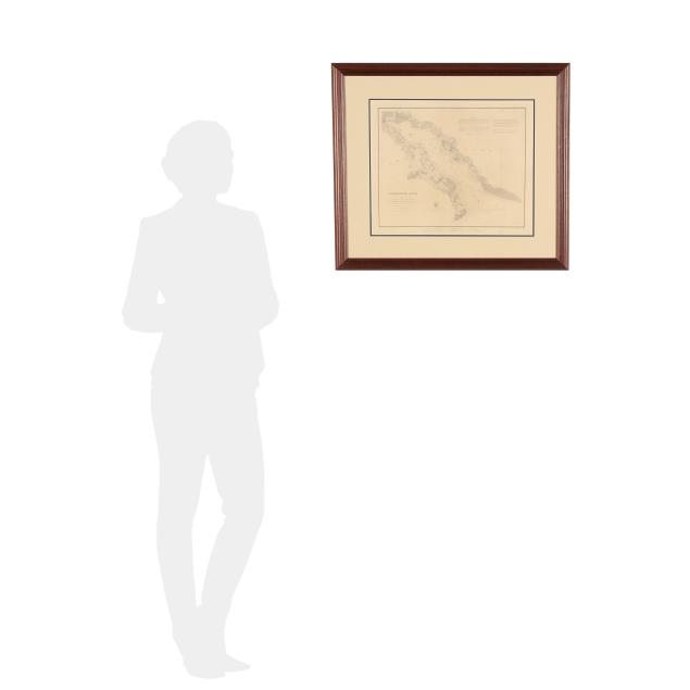
Sight size 15 3/4 x 18 3/4 in.; Frame dimensions 24 1/2 x 27 1/2 in.
Private South Carolina Collection
Central vertical fold, and a few small creases, spots of foxing, and damp stains (most generally quite subtle); light wear at margins including one 1-in. tear; scattered light marks to verso; attached to mat with three pieces of tape, not laid down. A lovely example of this rare sea chart.