Lot 1019
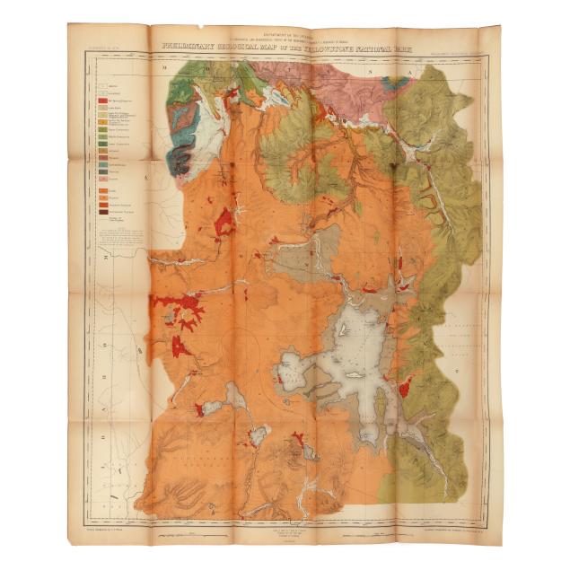
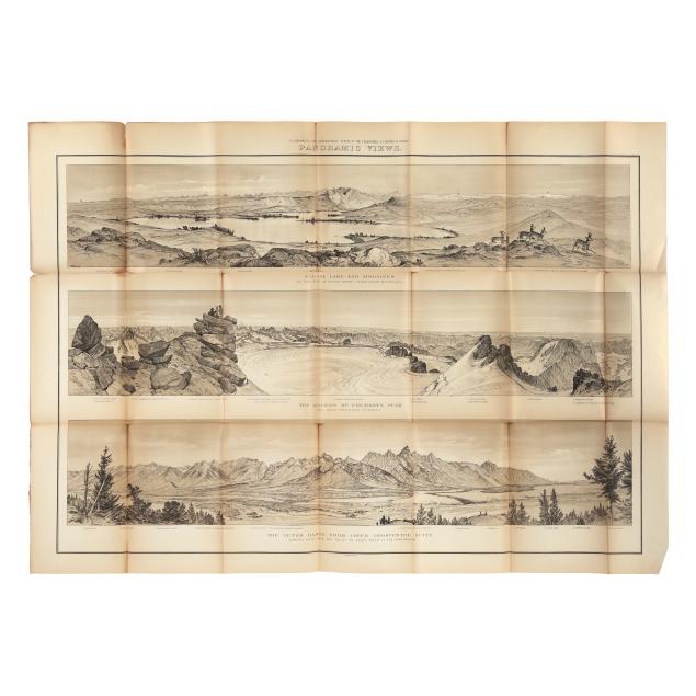
Hayden's Influential Maps and Panoramas of the Mountain West, Including an Early Map of Yellowstone
Explore more items like this one.
Visit our Historical Department Historical
Lot Details & Additional Photographs
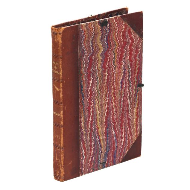
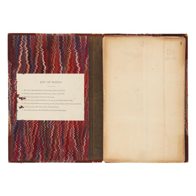
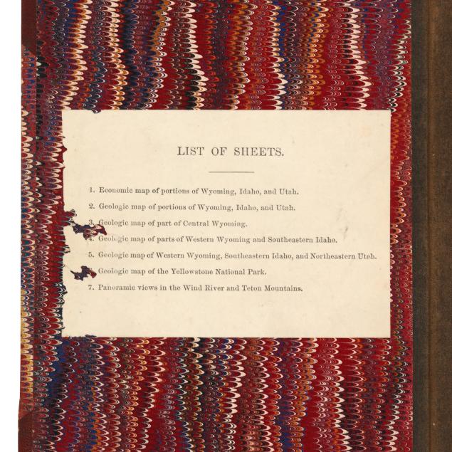
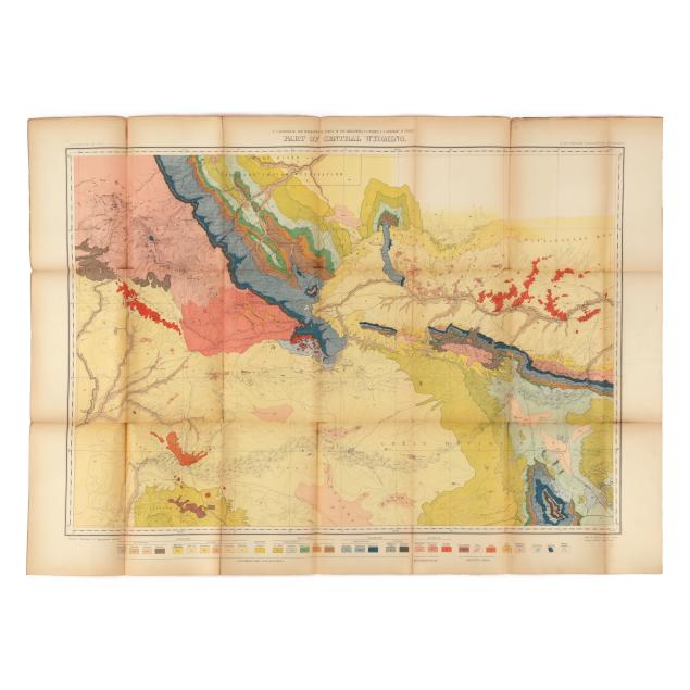
Portfolio 9 1/4 x 6 in.; Map sizes vary with first map 26 1/2 x 37 3/4 in.
Ferdinand Vandeveer Hayden (1829-1887) was a geologist known for his Geological Survey of Yellowstone in 1871. The photographs and paintings that resulted from this survey and were included in its official report, by William Henry Jackson and Thomas Moran respectively, led directly to the establishment of Yellowstone as the first national park in 1872. Hayden continued to survey the Mountain West annually until 1878.
Light wear to portfolio boards, loss to ribbon ties, spine rubbed and sunned with some splitting at ends; maps fragile as typical and with toning, occasional light grime, creasing, and mild edge wear, frequent splitting (sometimes heavy and significant) along fold lines, and a rare spot of foxing or small damp stain. An overall good example complete with all maps.