Lot 3074
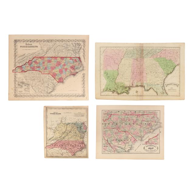
Four 19th-Century Maps of the American South
Explore more items like this one.
Visit our Historical Department Historical
Lot Details & Additional Photographs
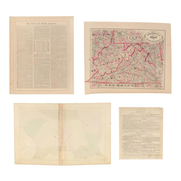
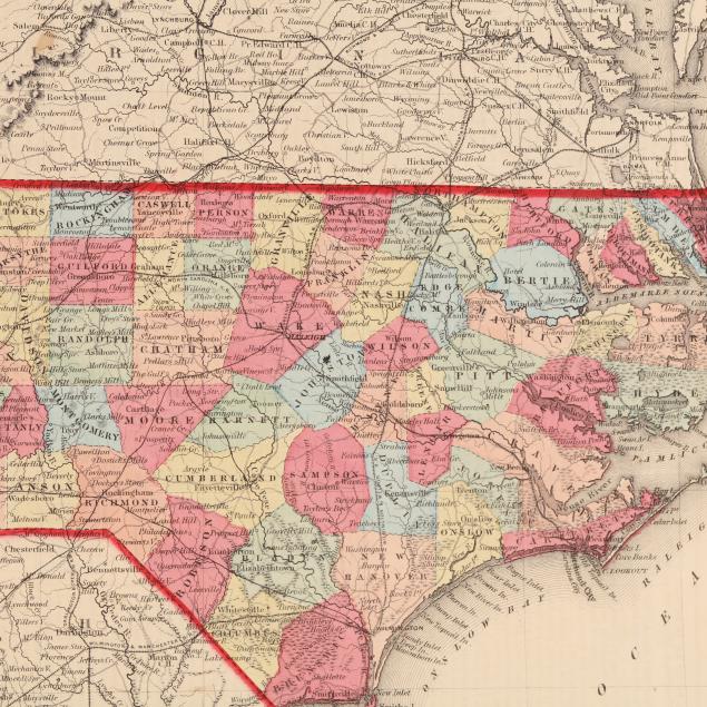
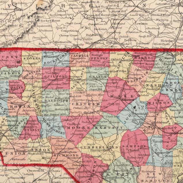
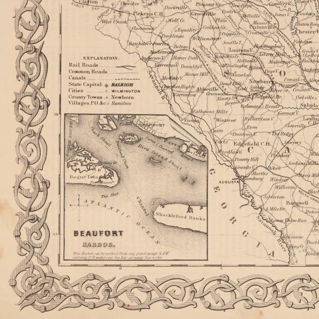
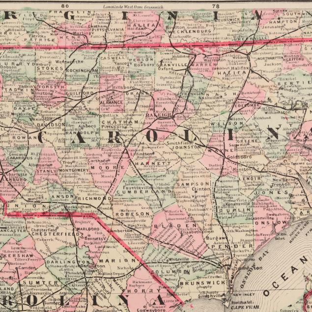
J. H. Colton. COLTON'S NORTH CAROLINA. New York: Johnson & Browning, [1859]. From Colton's General Atlas. With hand-coloring by county; inset map of Beaufort harbor; and text "The State of South Carolina" on verso. (14 1/2 x 17 1/2 in.) (Light soiling and toning; minor edge wear and foxing.)
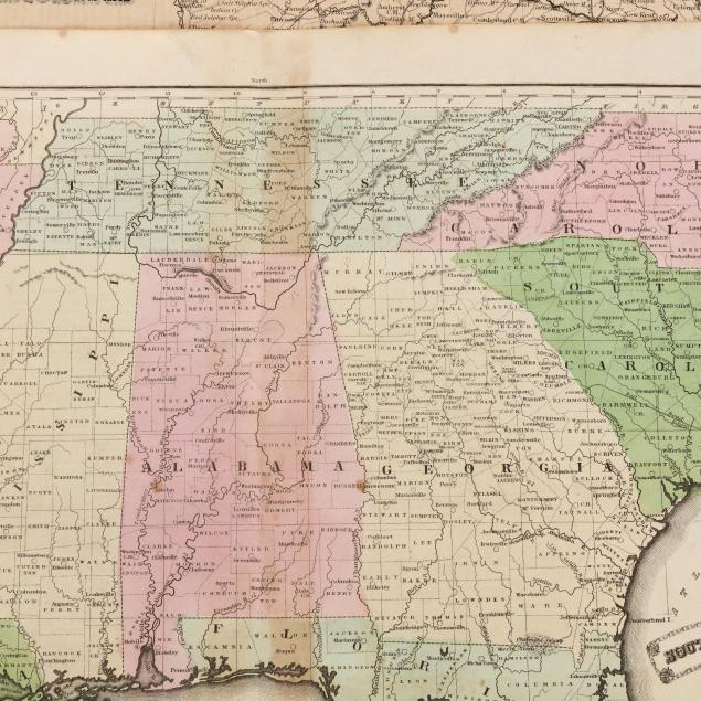
J[esse] Olney. SOUTHERN STATES. [New York]: [Robinson, Pratt & Co.], [1837]. From A New and Improved School Atlas. Double-page engraved map with hand-coloring; showing Arkansas, Louisiana, Tennessee, Mississippi, Alabama, Georgia, North Carolina, South Carolina, and Florida. (11 5/8 x 18 1/4 in.) (Scattered spotting and grime, offsetting, light toning with heavier browning along center from tape on verso, and a small area of separation at tail of centerfold.)
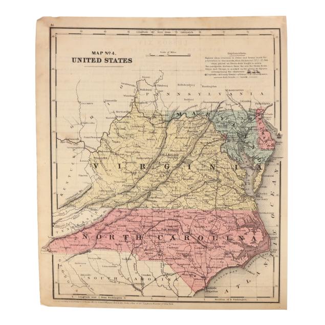
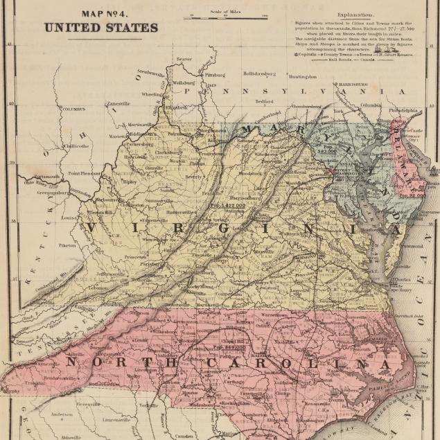
Daniel Burgess & Co. MAP NO. 4. UNITED STATES. New York, 1853 (dated). Presenting Delaware, Maryland, Virginia, and North Carolina; single sheet with hand-coloring and presenting details such as population; text on verso. Without West Virginia which would not become a state for another decade. (11 1/8 x 9 1/4 in.) (Light spotting and grime, minor wear to one corner and a few mostly shallow folds at another.)
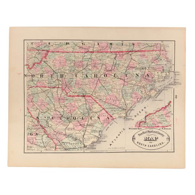
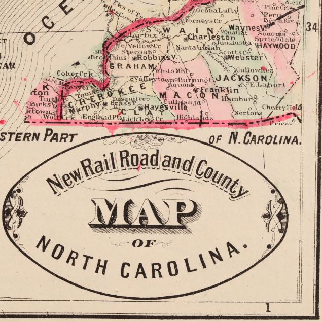
[George F. Cram]. NEW RAIL ROAD AND COUNTY MAP OF NORTH CAROLINA [with] NEW RAIL ROAD AND COUNTY MAP OF VIRGINIA & WEST VIRGINIA.E. [Chicago], [1882]. From Cram's Unrivaled Family Atlas of the World. Double-sided map with hand-coloring; titles in oval cartouche. The following year Cram turned to printed color. (11 x 13 1/2 in.) (Mild toning and spotting, and a closed tear at the upper margin.)