Lot 3064
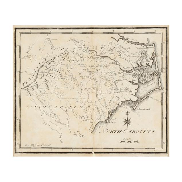
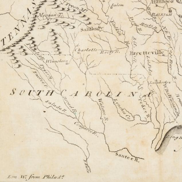
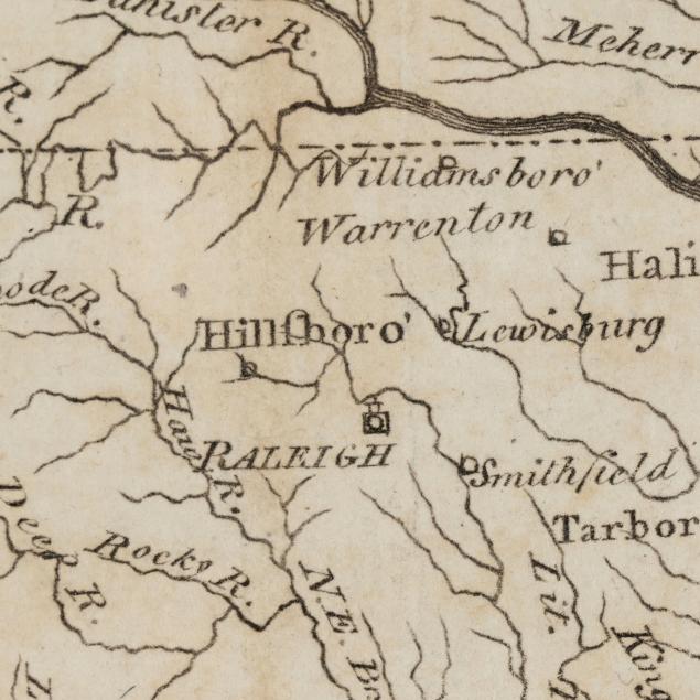
Joseph Scott's Early Map of North Carolina
Explore more items like this one.
Visit our Historical Department Historical
Lot Details & Additional Photographs
Sight size 6 1/2 x 7 3/4 in.; Frame dimensions 14 x 15 1/4 in.
A Private High Point, North Carolina Collection
First published in 1795, and included in Scott's United States Gazetteer, this later state presents minor changes with the most notable being the two short lines added to most of the circles marking the towns.
A few small repairs in the margins (occasionally only slightly impacting the border); some light spotting and areas of browning, including along central fold line; fairly subtle vertical folds; not examined outside the frame.