Lot 3065
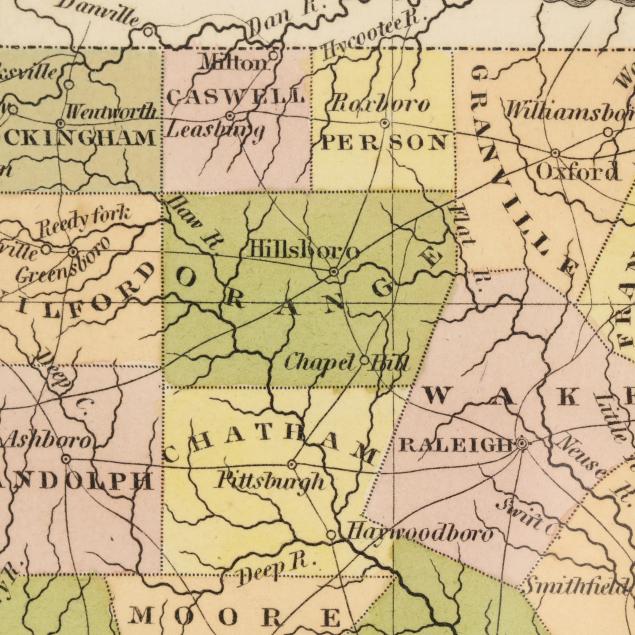
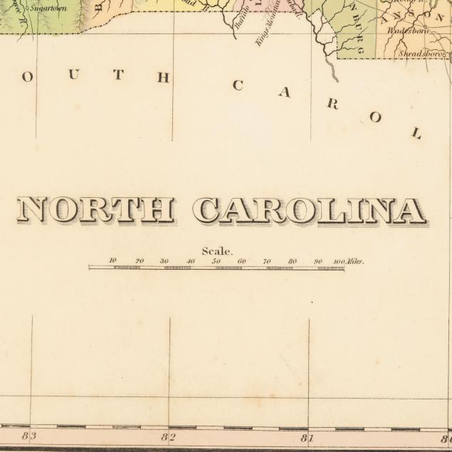
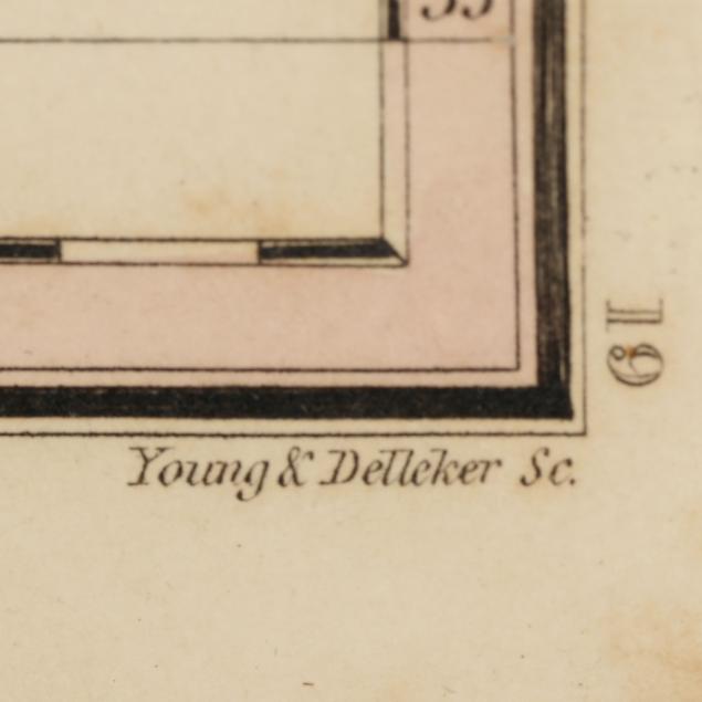
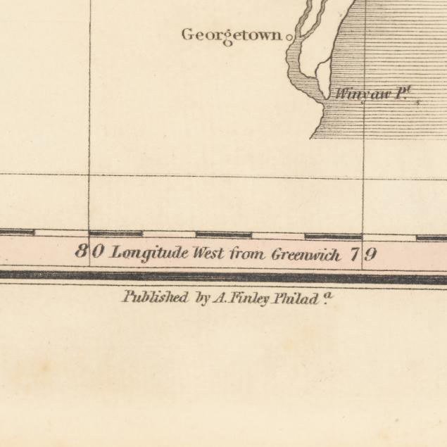
Finley's Early-19th-Century Map of North Carolina
Explore more items like this one.
Visit our Historical Department Historical
Lot Details & Additional Photographs
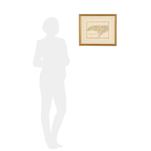
Sight size 10 x 12 3/4 in.; Frame dimensions 16 1/8 x 18 7/8 in.
A Private High Point, North Carolina Collection
Mild toning, light scattered foxing, and a couple of minor marks; not examined outside the frame.