Lot 3073
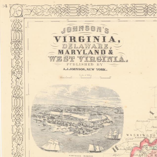
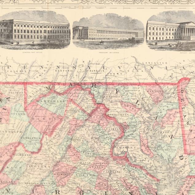
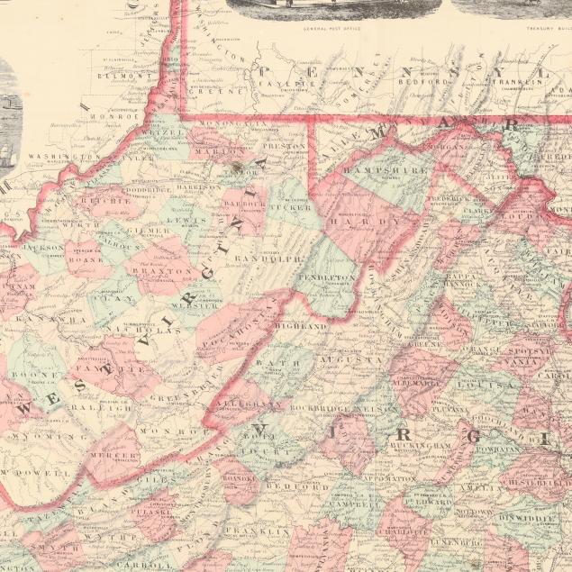
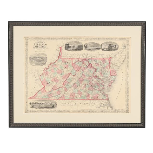
Johnson's Map of Virginia, Delaware, Maryland, and West Virginia
Explore more items like this one.
Visit our Historical Department Historical
Lot Details & Additional Photographs
Sight size 17 1/8 x 24 in.; Frame dimensions 23 3/4 x 30 3/8 in.
A Private High Point, North Carolina Collection
With light toning, foxing, and creasing; central fold line, as issued, with some areas of separation and an associated closed tear, and one minor tiny damp stain; minor wear to frame; not examined outside the frame.