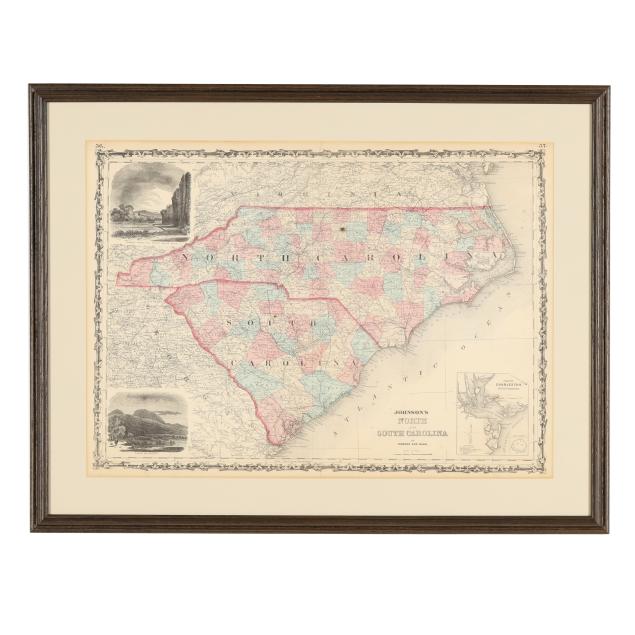
Lot 3069
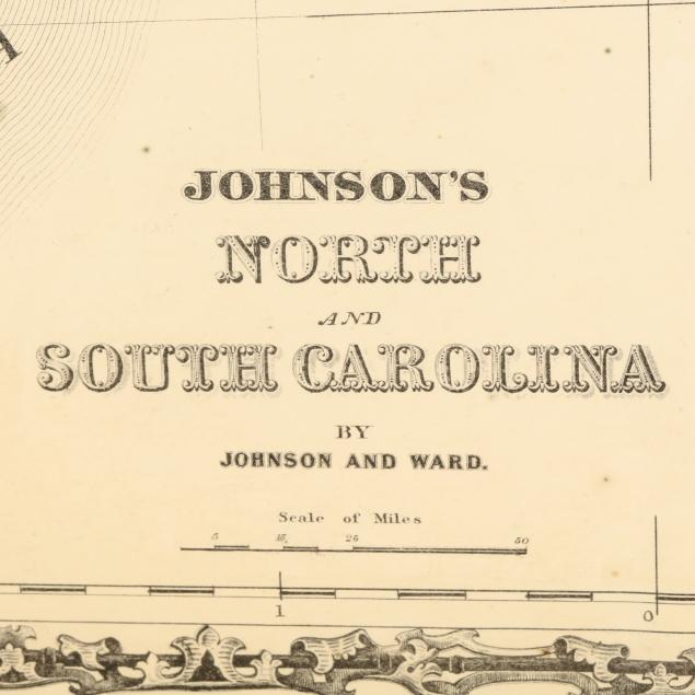
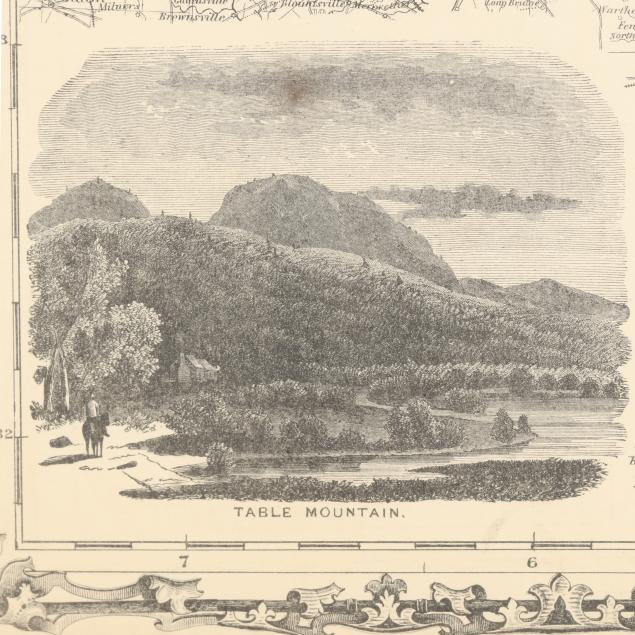
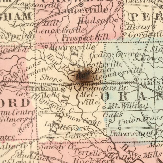
Johnson's Civil War Era Map of North and South Carolina
Explore more items like this one.
Visit our Historical Department Historical
Lot Details & Additional Photographs
Sight size 17 3/4 x 24 1/2 in.; Frame dimensions 23 3/4 x 30 5/8 in.
A Private High Point, North Carolina Collection
Map with mild toning, minor creasing, and a few spots of foxing; central fold, as issued, with some separation at each end; not examined outside the frame.