Lot 3061
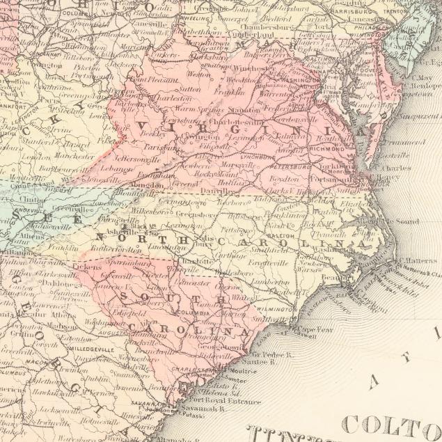
Colton's Detailed Civil War-Era Map of the United States
Explore more items like this one.
Visit our Historical Department Historical
Lot Details & Additional Photographs
Sight size 15 1/8 x 18 1/4 in.; Frame dimensions 22 1/4 x 25 3/8 in.
A Private High Point, North Carolina Collection
Fold lines, as issued; printed on thin paper with associated light creasing; a few small spots, mostly negligible, with a larger area of browning in the corner of Nebraska; a small marginal tear and a subtle area of tearing in Rhode Island and into Massachusetts; not examined outside the frame.