Lot 3071
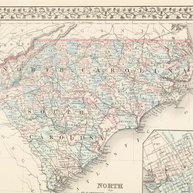
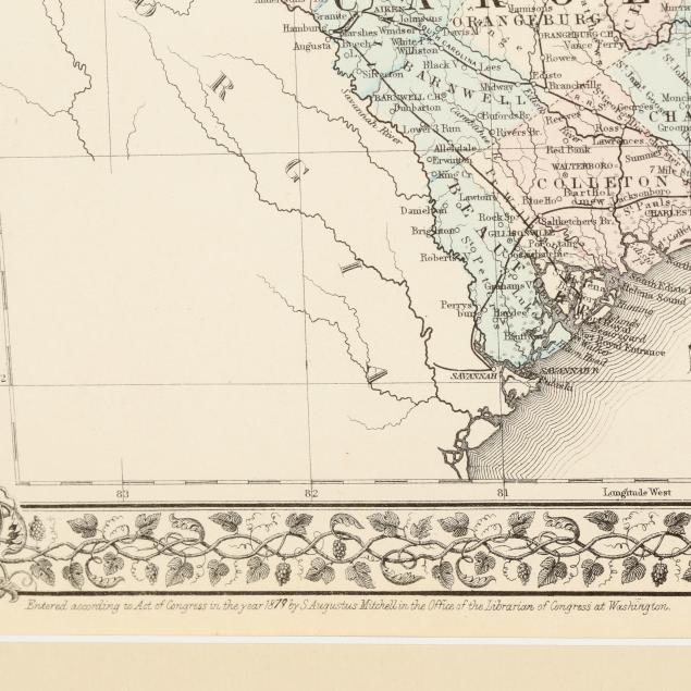
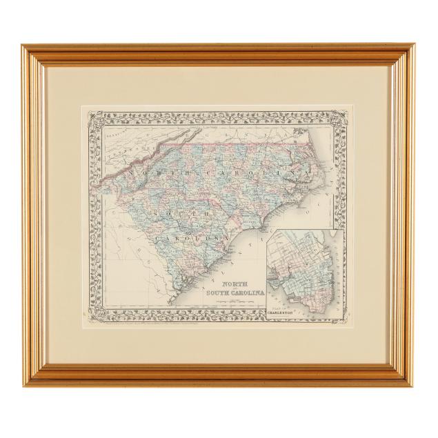
Mitchell's Late-19th-Century Map of North and South Carolina
Explore more items like this one.
Visit our Historical Department Historical
Lot Details & Additional Photographs
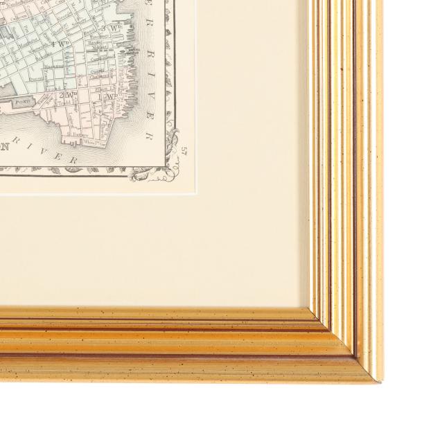
Sight size 12 x 14 1/2 in.; Frame dimensions 18 5/8 x 21 1/8 in.
A Private High Point, North Carolina Collection
A lovely, clean, and bright example with light creasing, one closed tear in the margin, and a couple spots of foxing; not examined outside the frame.