Lot 3011
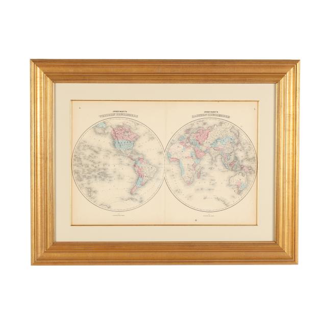
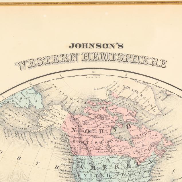
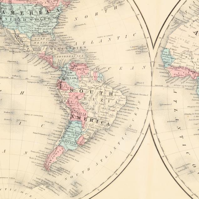
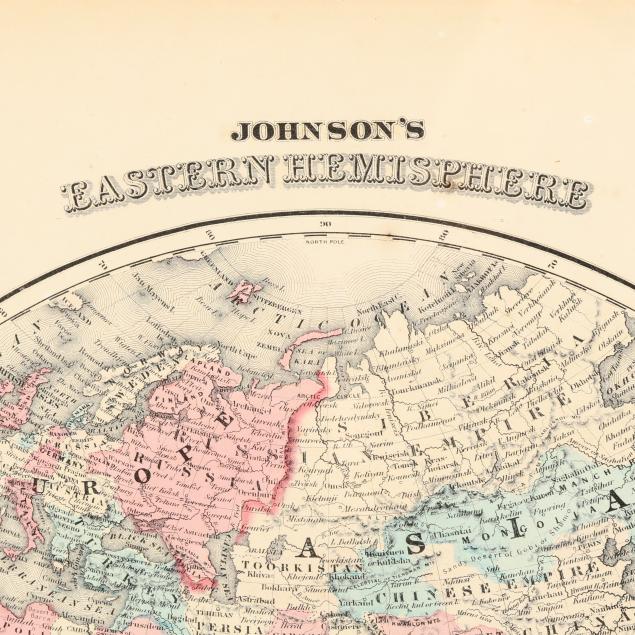
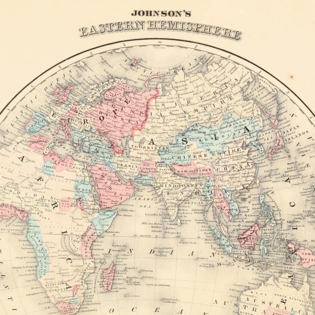
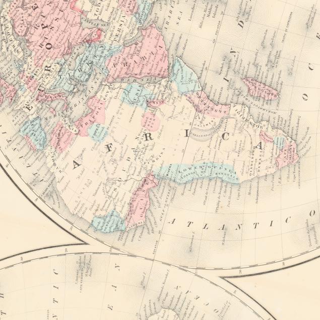
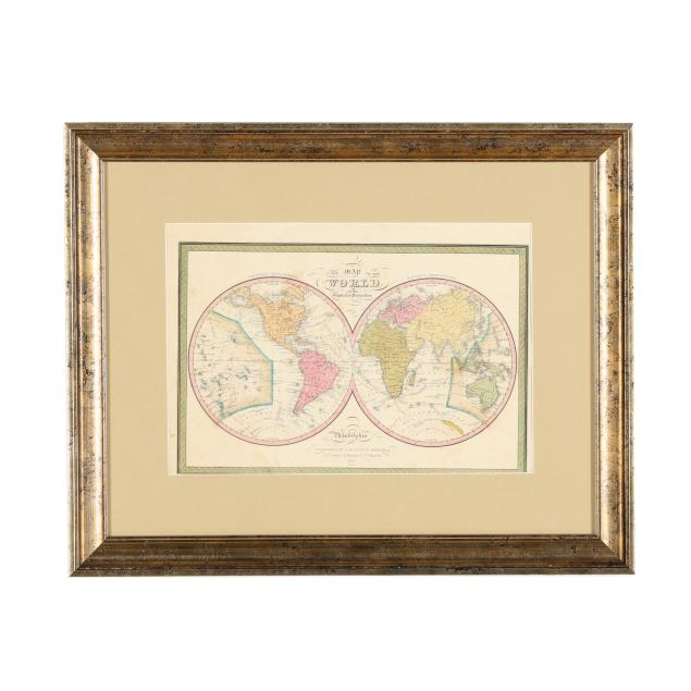
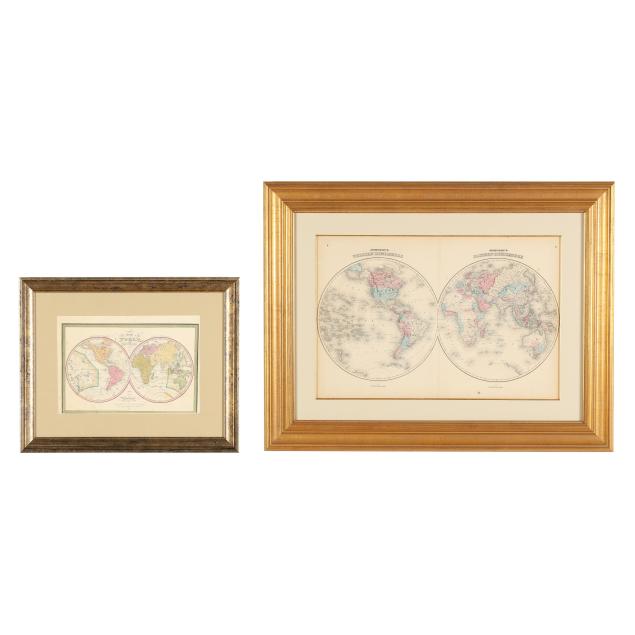
Two Mid-19th-Century Maps of the World
Explore more items like this one.
Visit our Historical Department Historical
Lot Details & Additional Photographs
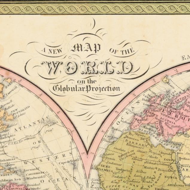
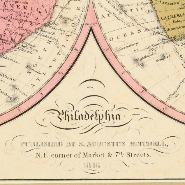
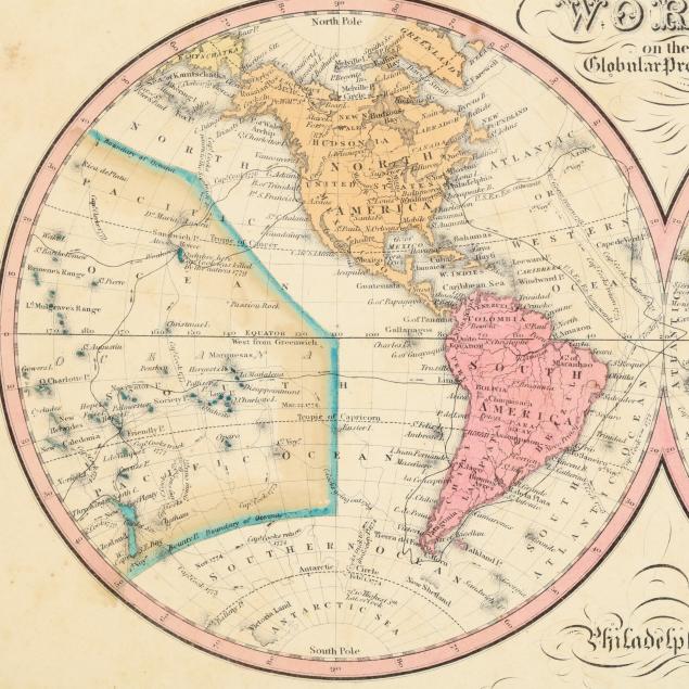
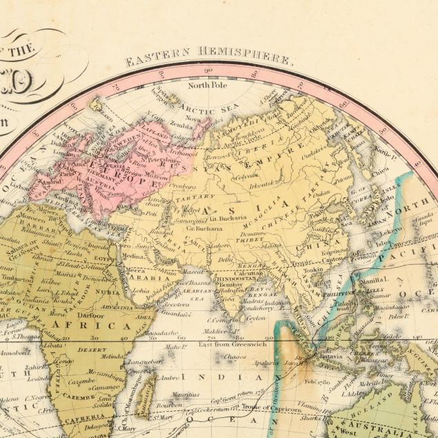
S[amuel] Augustus Mitchell. A NEW MAP OF THE WORLD ON THE GLOBULAR PROJECTION. Philadelphia: S. Augustus Mitchell, 1846 (dated). Double hemisphere map with hand-coloring; from Mitchell's A New Universal Atlas. Presented matted and framed. Image size 9 3/8 x 14 1/8 in.; Frame dimensions 18 1/8 x 22 7/8 in. (With some light foxing and staining; slightly loose within frame; not examined outside the frame.)
A Private High Point, North Carolina Collection