Lot 3067
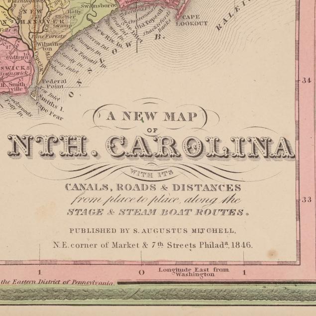
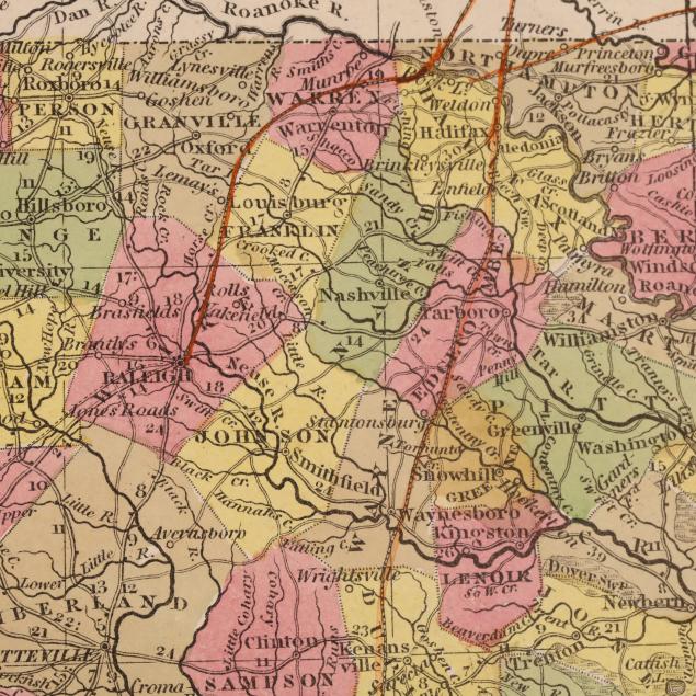
Two Editions of A New Map of Nth. Carolina with its Canals, Roads & Distances From the 1840s
Explore more items like this one.
Visit our Historical Department Historical
Lot Details & Additional Photographs
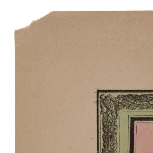
H[enry] S[chenck] Tanner. A NEW MAP OF NTH. CAROLINA WITH ITS CANALS, ROADS & DISTANCES FROM PLACE TO PLACE, ALONG THE STAGE & STEAM BOAT ROUTES. Philadelphia, 1844. (13 7/8 x 17 3/8 in.) (Presented in a mat, no longer attached but with associated tape and tape residue in margins; with toning, scattered spotting and small stains (heaviest in margins), and light edge wear.)
S[amuel] Augustus Mitchell. A NEW MAP OF NTH. CAROLINA WITH ITS CANALS, ROADS & DISTANCES FROM PLACE TO PLACE, ALONG THE STAGE & STEAM BOAT ROUTES. Philadelphia: S. Augustus Mitchell, 1846 (dated). From Mitchell's A New Universal Atlas. (13 1/4 x 15 1/2 in.) (Toning, a few spots of foxing, and light wear to margins.)
A Private High Point, North Carolina Collection