Lot 4204
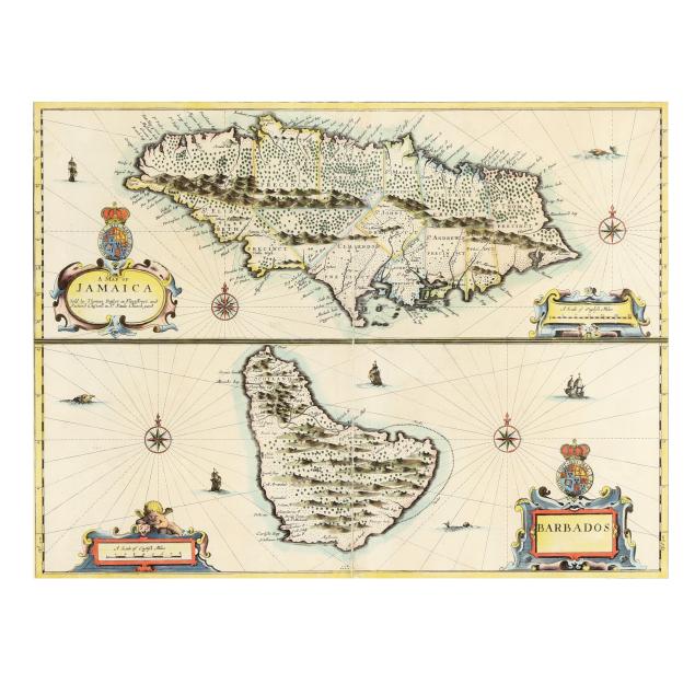
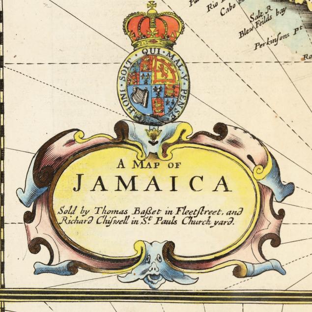
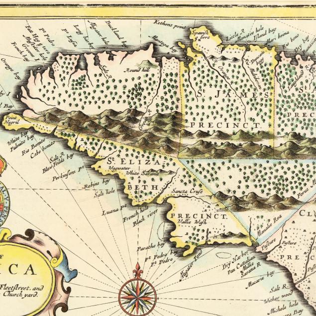
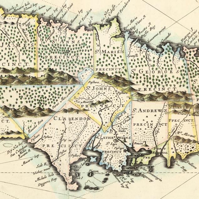
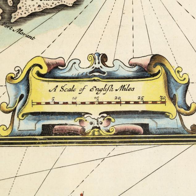
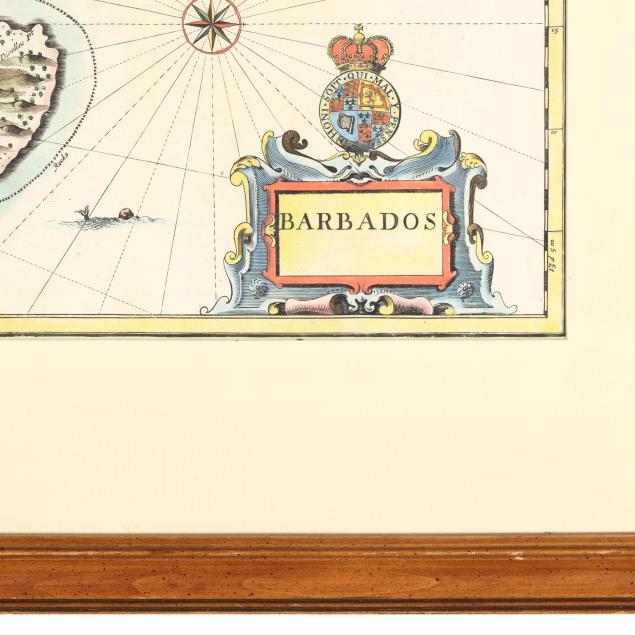
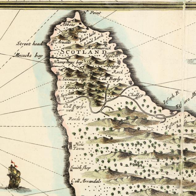
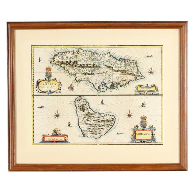
John Speed's 17th-Century Map of Jamaica and Barbados
Explore more items like this one.
Visit our Historical Department Historical
Lot Details & Additional Photographs
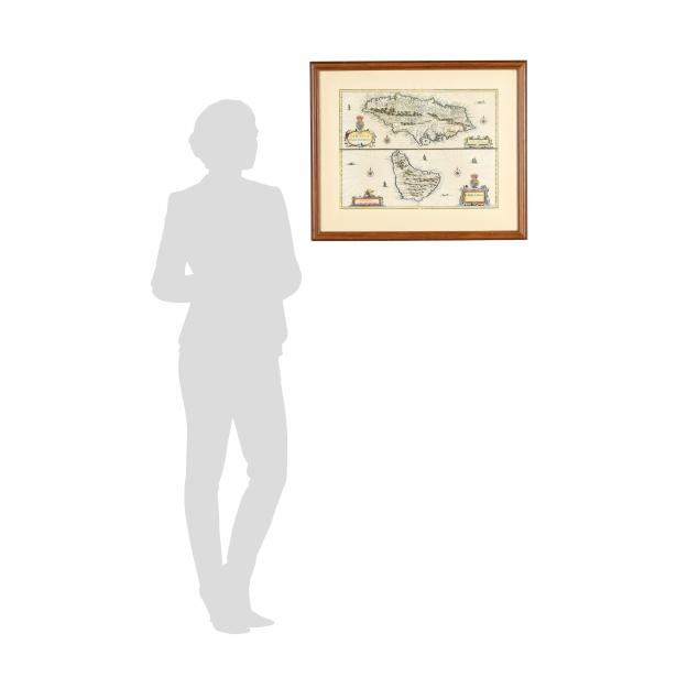
Sight size 14 7/8 x 19 5/8 in.; Frame dimensions 22 5/8 x 27 x 3/4 in.
From a Private Chapel Hill, North Carolina Collection
Centerfold as issued, with areas of separation along the fold and a small likely repair; with a minor tear at upper border and a few light areas of grime; laid down; light wear to frame; a bright example.