Lot 4203
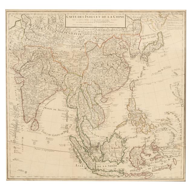
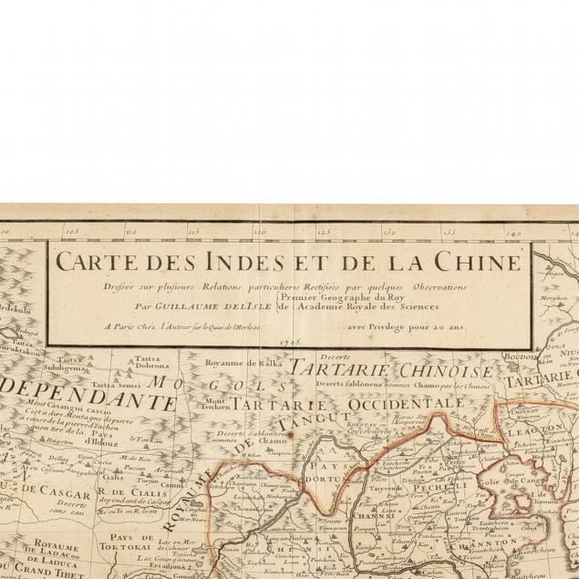
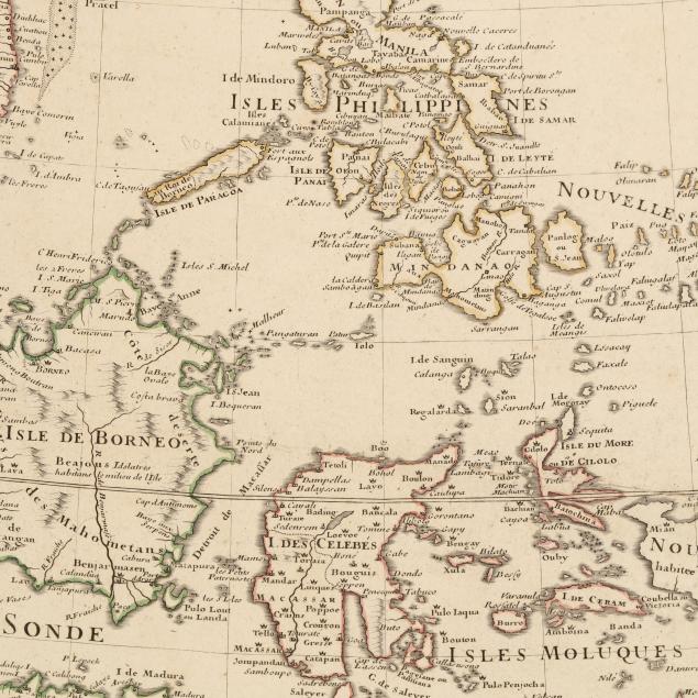
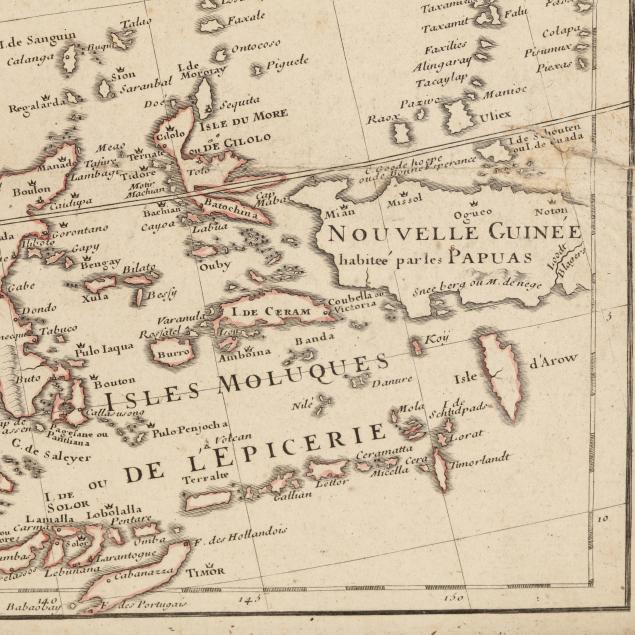
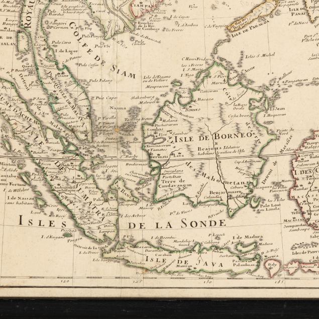
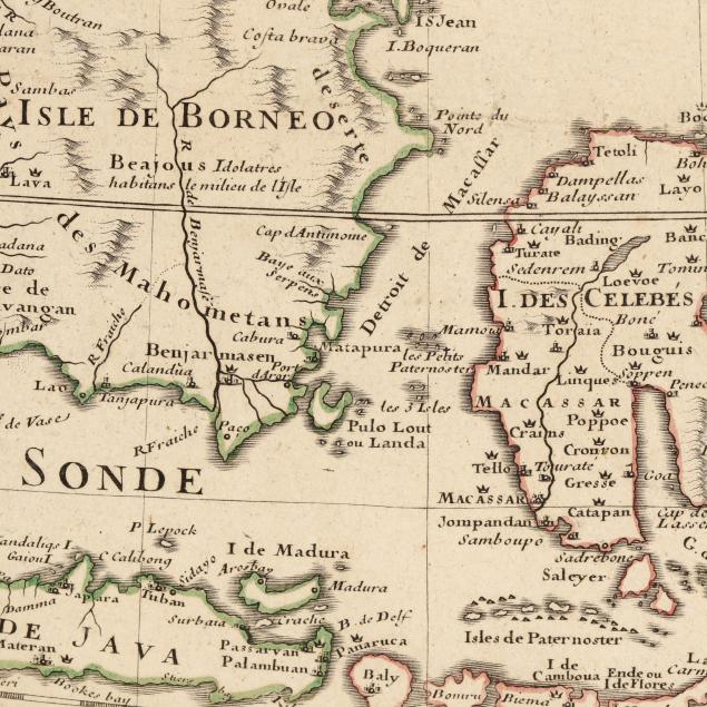
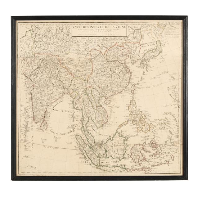
Guillaume Delisle's Important Early-18th-Century Map of India and East Asia
Explore more items like this one.
Visit our Historical Department Historical
Lot Details & Additional Photographs
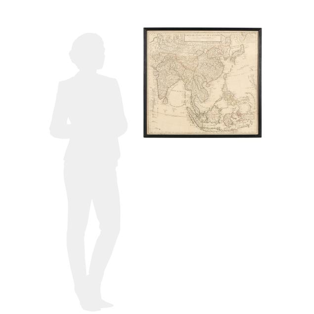
Plate size 24 7/8 x 26; Frame dimensions 26 3/4 x 27 7/8 in.
Guillaume Delisle (also De L'Isle) was an important French cartographer. He was a member of the Académie Royale des Sciences, and in 1718 was named Premier Géographe du Roi.
Two sheets joined, as issued; with horizontal and vertical folds, scattered light foxing, a few mild stains and areas of creasing, a couple of small chips along one fold, and a 1 1/2-in. repaired tear; small hand-written number partially visible in top left corner margin; some wear to the frame and light debris caught below glass; not examined fully outside the frame.