Lot 4207
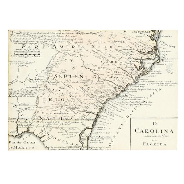
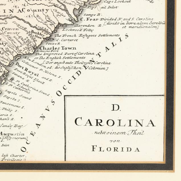
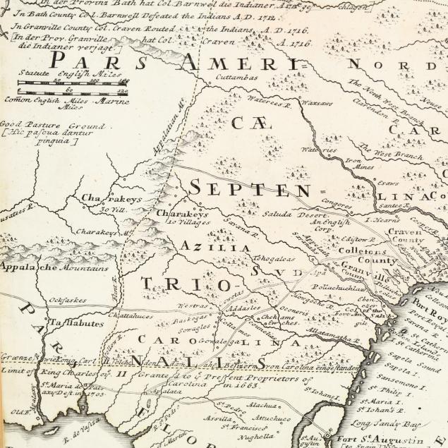
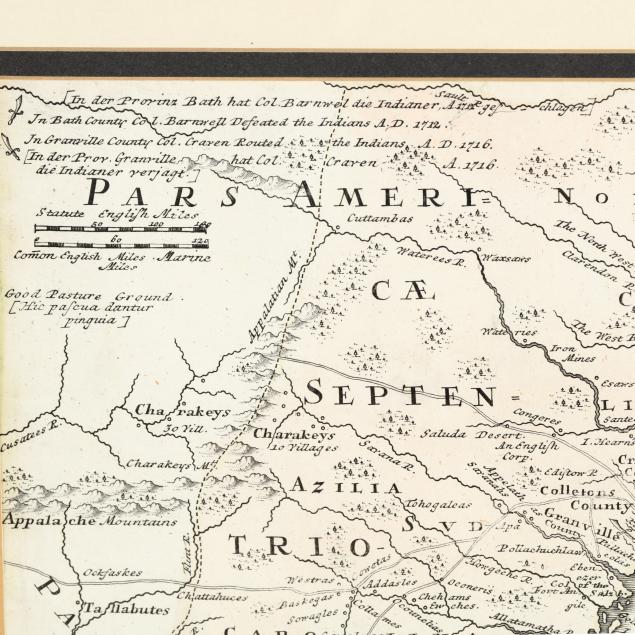
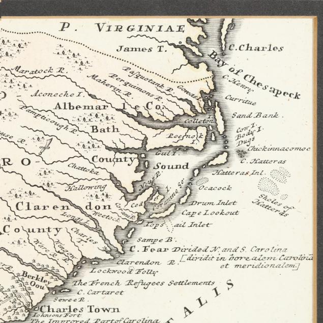
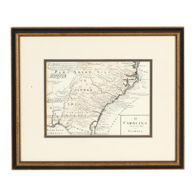
18th-Century Map of the Southeastern United States
Explore more items like this one.
Visit our Historical Department Historical
Lot Details & Additional Photographs
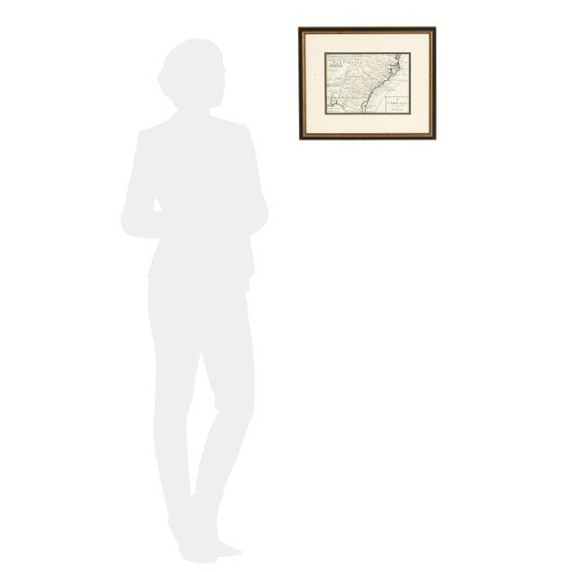
Sight size 7 1/8 x 9 7/8 in.; Frame dimensions 14 x 16 3/4 x 5/8 in.
From a Private Chapel Hill, North Carolina Collection
Very faint hand-coloring remaining; trimmed; one tiny possible repair at left edge; not laid down; light debris caught under glass and frame lacking hanging wire; not examined fully outside the frame.