Lot 7012
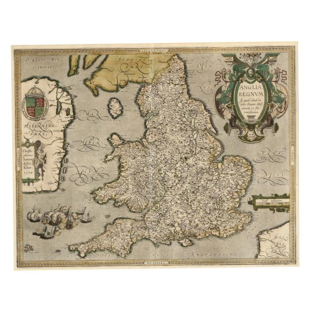
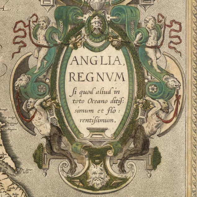
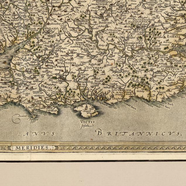
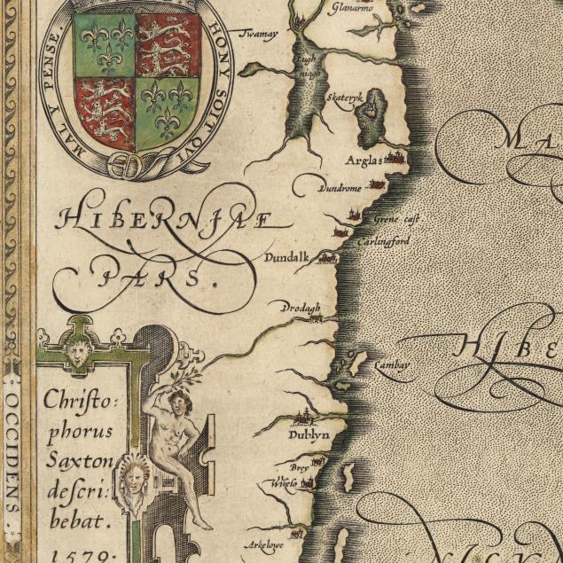
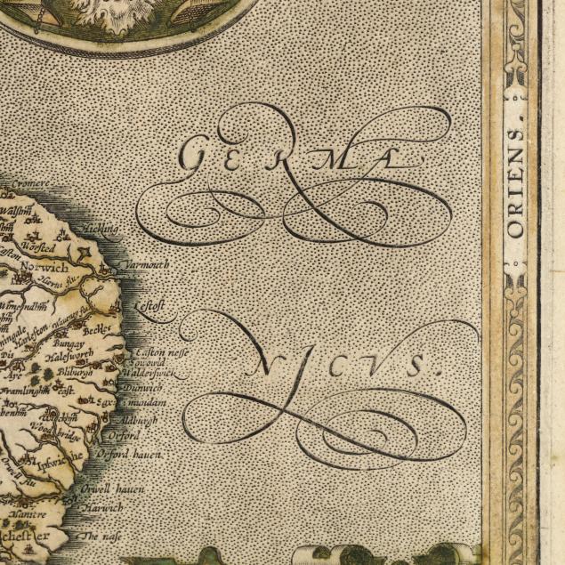
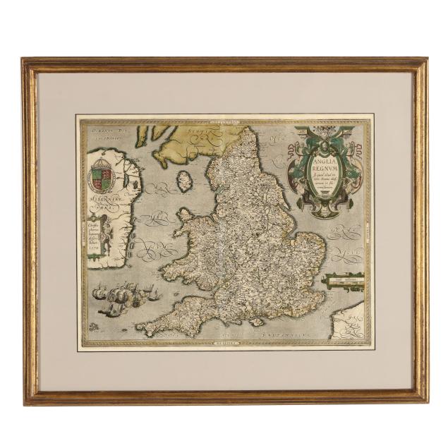
Ortelius's Scarce Early-17th-Century Map of England and Wales
Explore more items like this one.
Visit our Historical Department Historical
Lot Details & Additional Photographs
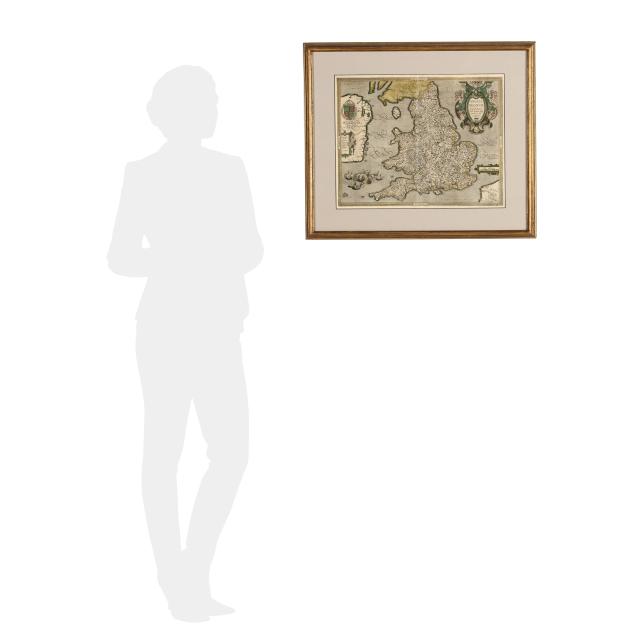
Plate size 15 1/8 x 19 in.; Frame dimensions 23 1/4 x 26 3/4 in.
From a Private Williamsburg, Virginia Collection
Not laid down; centerfold, as issued, with a tear, small damp stain, and light vertical creasing near the fold; mild toning, a couple of subtle spots of foxing, and minor spots of residue; very light wear to frame; not examined outside the frame; a nice copy of this rare and influential map.