Lot 5427
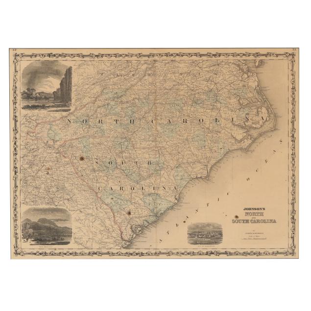
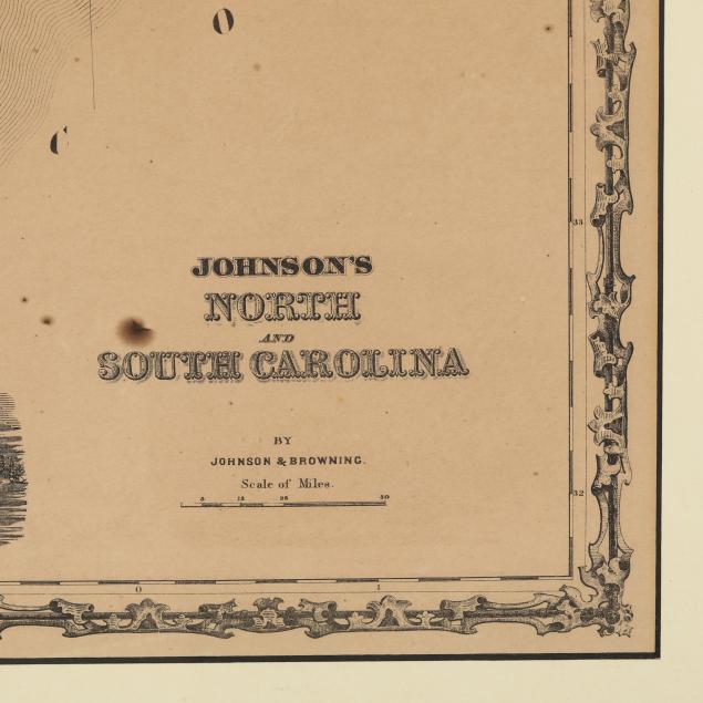
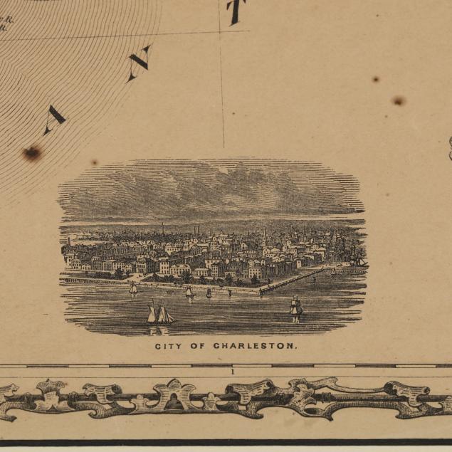
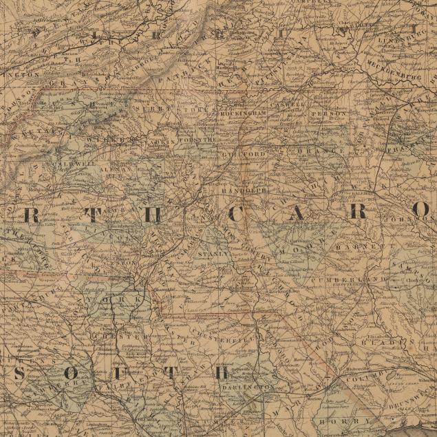
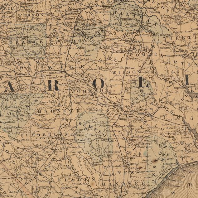
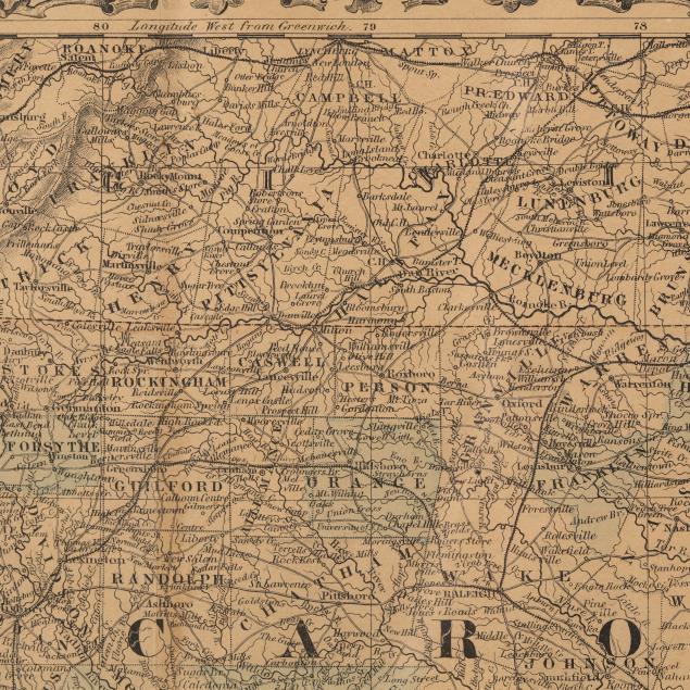
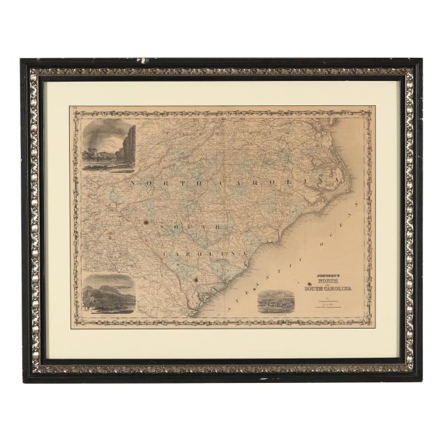
Johnson’s Civil War-Era Map of North and South Carolina
Lot Details & Additional Photographs
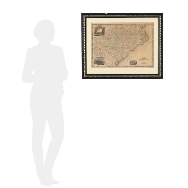
Sight size 17 1/2 x 24 1/8 in.; Frame dimensions 25 1/2 x 31 3/4 x 1 3/4 in.
From a Private Wilmington, North Carolina Collector
Toned, with a few scattered spots, minor creasing, and fading to the hand coloring; centerfold with light browning and a tiny tear at upper margin; not examined outside the frame; some wear to frame.