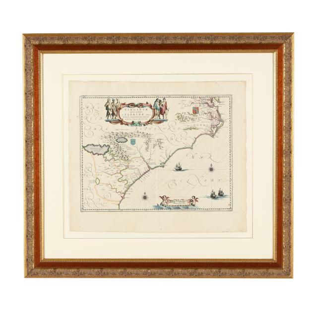
Lot 7008
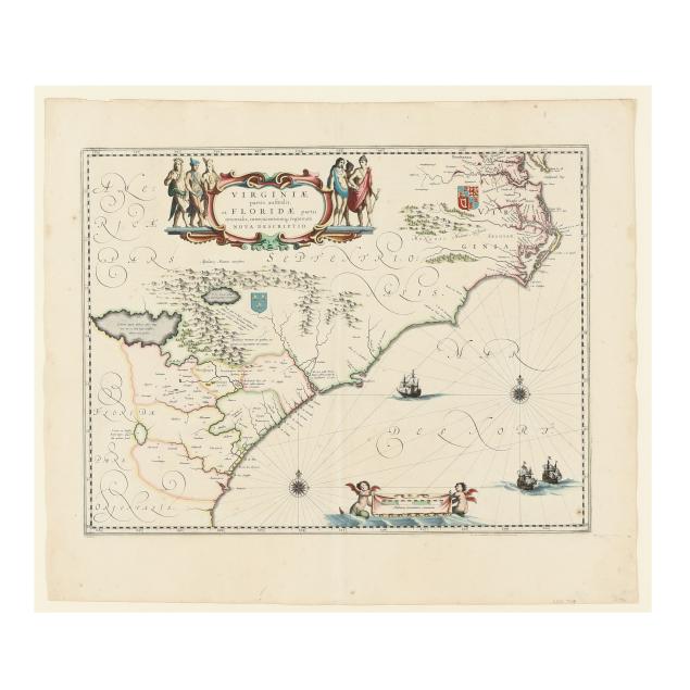
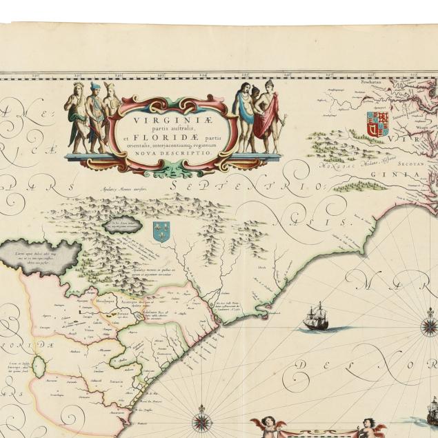
Blaeu’s Important Early Map of the American Southeast
Lot Details & Additional Photographs
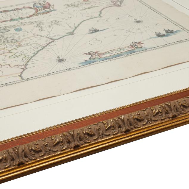
Sheet size 19 1/2 x 22 7/8 in.; Frame dimensions 32 x 35 1/4 x 1 in.
From a Private Wilmington, North Carolina Collector
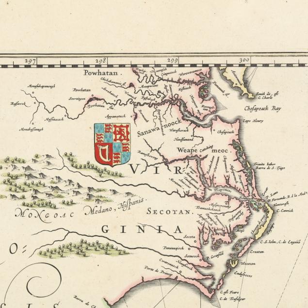
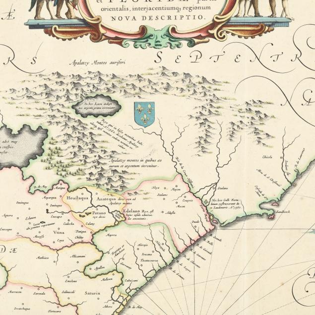
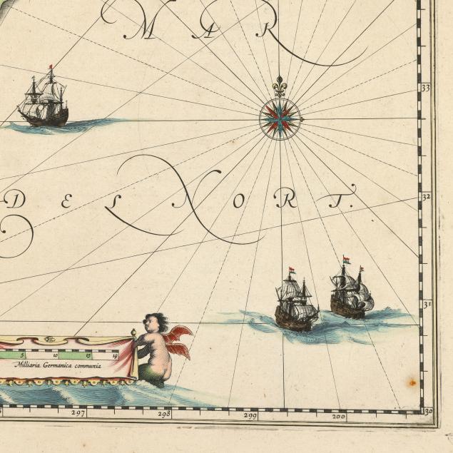
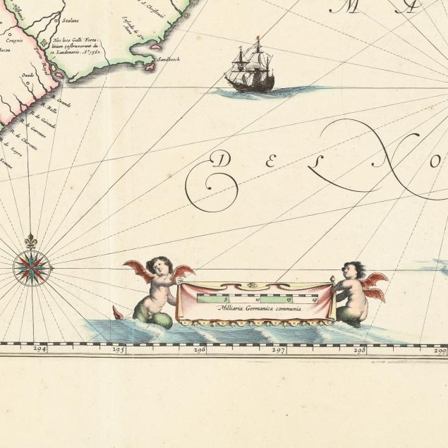
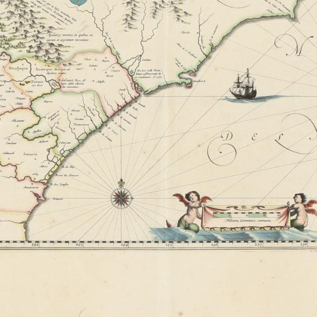
Based on the Mercator-Hondius map of 1606, Blaue’s map is similar but with some important changes, such as a more accurate presentation of North Carolina’s Outer Banks, and according to Burden, the first appearance of “Newport nesa” (Newport News) on a map. According to Cumming, when it was published it was “the most correct map of this area yet to appear…” (p. 138) The map is often mistaken for Jansson’s map from the same period. Nearly identical, the easiest way to tell them apart is the incorrect longitudinal number “200” on Blaeu’s map that was corrected to “300” on Jansson's. Burden 253; Cumming 41.
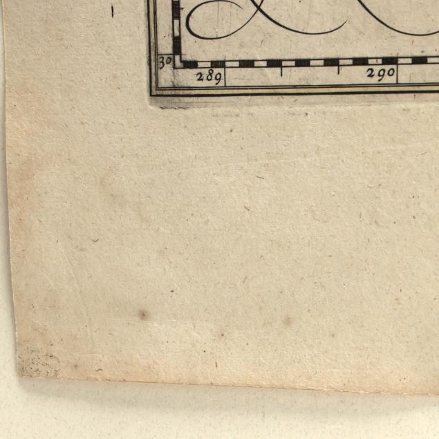
Not laid down; map with a few spots of foxing and one spot of grime; light damp staining, grime, creasing, and spotting in margins, with a couple of pencil notations and a tiny area of separation at head and tail of central fold; not examined fully outside the frame; the frame with light wear. A beautiful example.