Lot Details & Additional Photographs
To include:
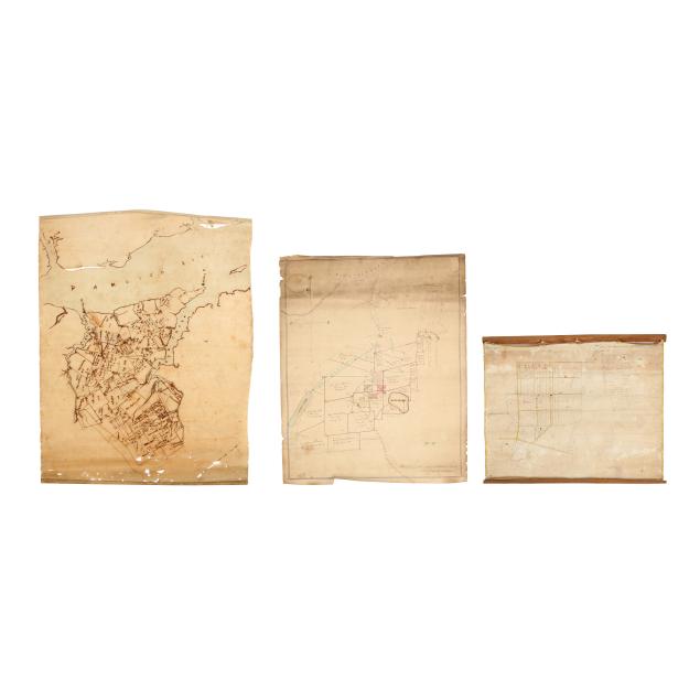
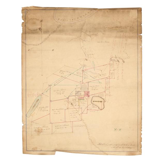
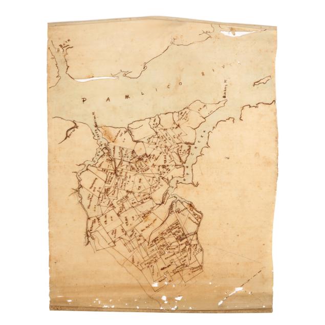
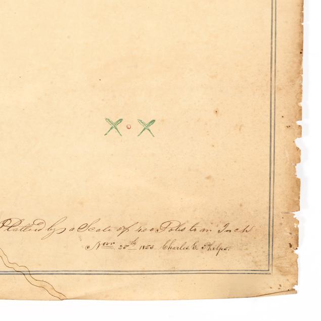
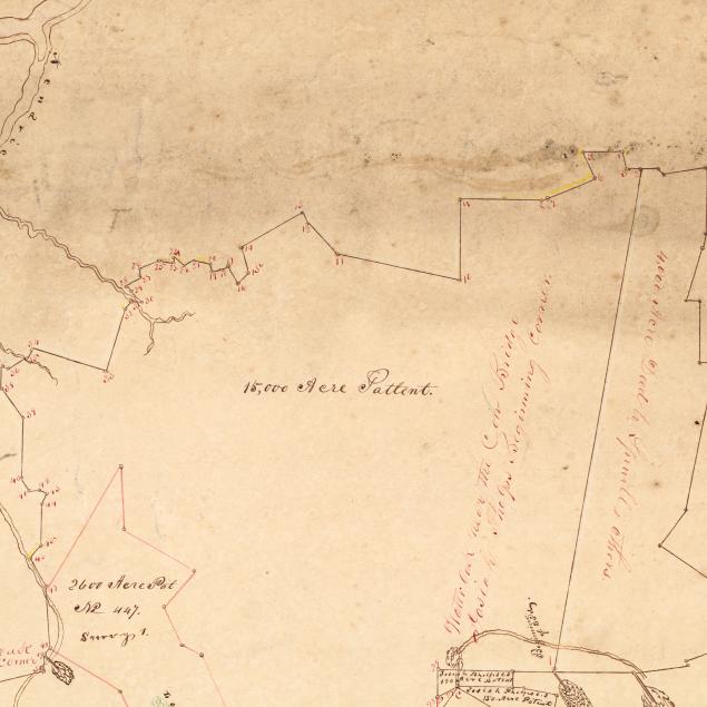
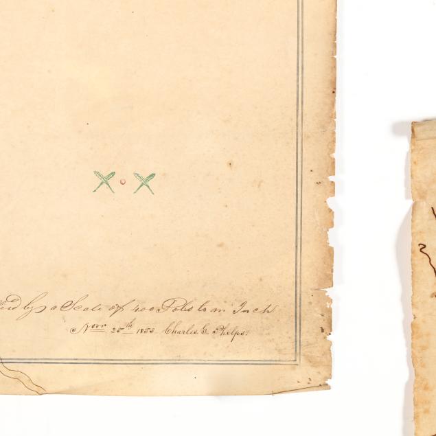
Pungo Lake and its environs, Platted by a Scale of 40.0 Poles to an Inch /Nov 25th 1853, Charles G. Phelps, ink on paper, soiling and small chips to the top and sides (22 x 17 3/4 in.)....plus: "
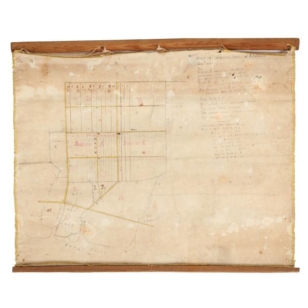
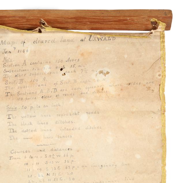
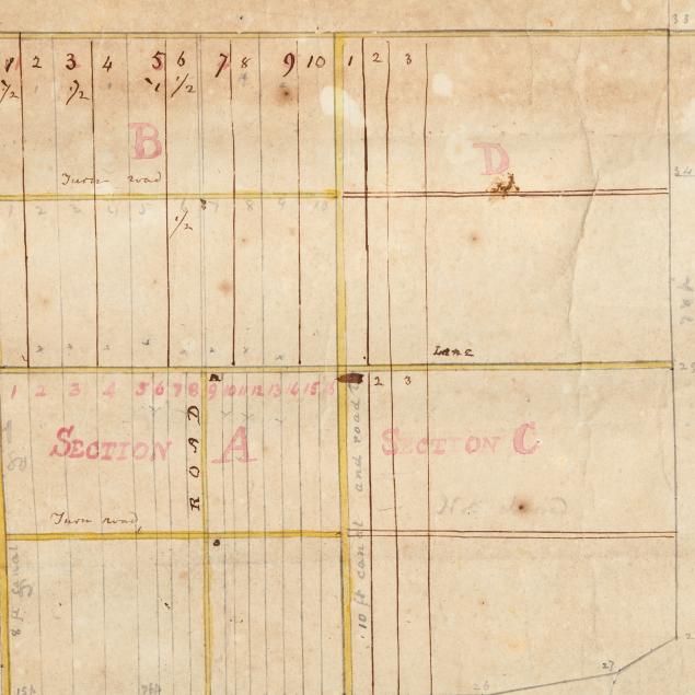
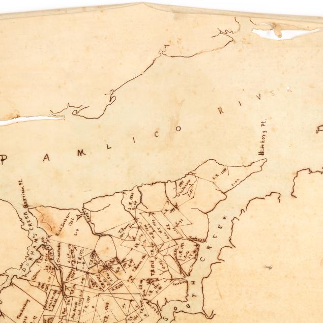
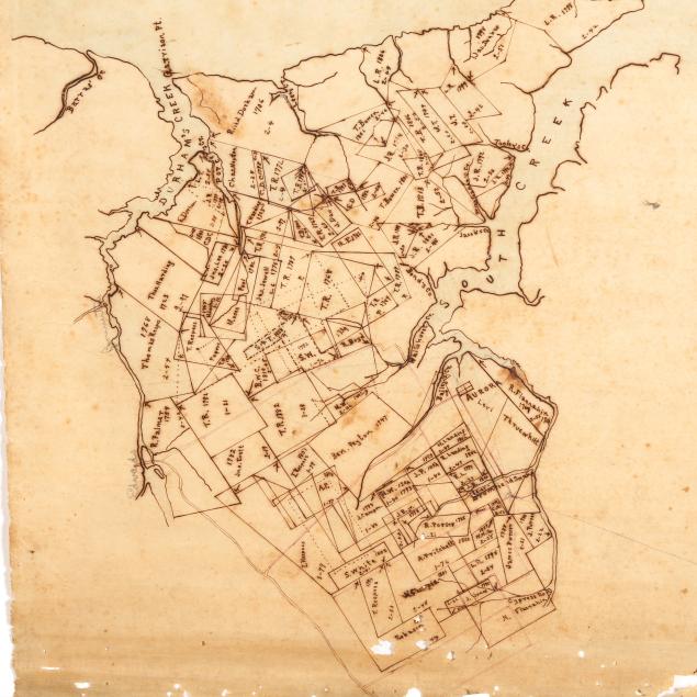
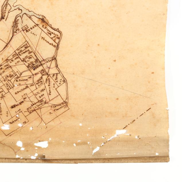
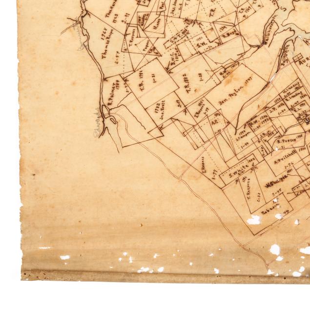
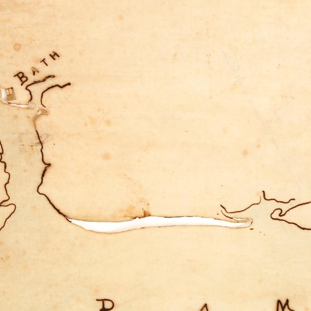
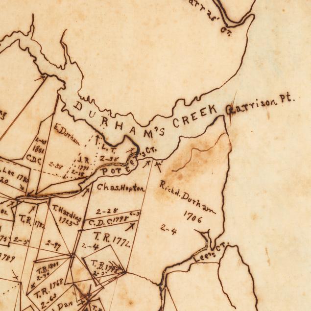
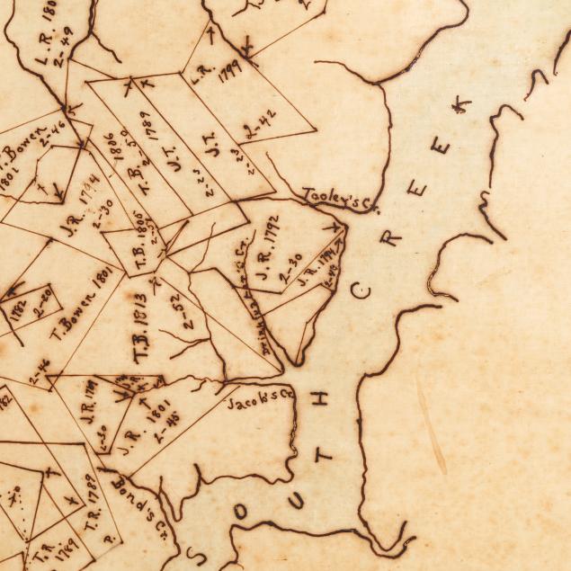
Map of cleared land at URWALD Jany 1866, paper laid to linen, this extensive property belonging to William Blount Rodman and his descendants of the same name (12 3/4 x 17 in.)....plus: a late-19th or early-20th-century map of land-holders' properties along the Pamlico River at South Creek. Ink on fine paper, notice historic Bath, North Carolina is nearly hidden in the map's upper right corner (20 x 29 1/4 in.).
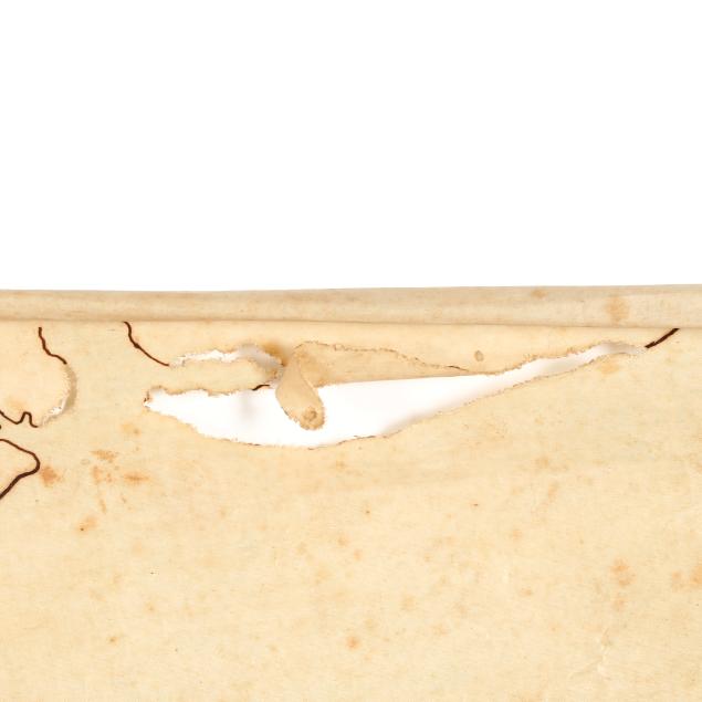
Overall light browning to all maps with some edge wear and losses.