Lot 7006
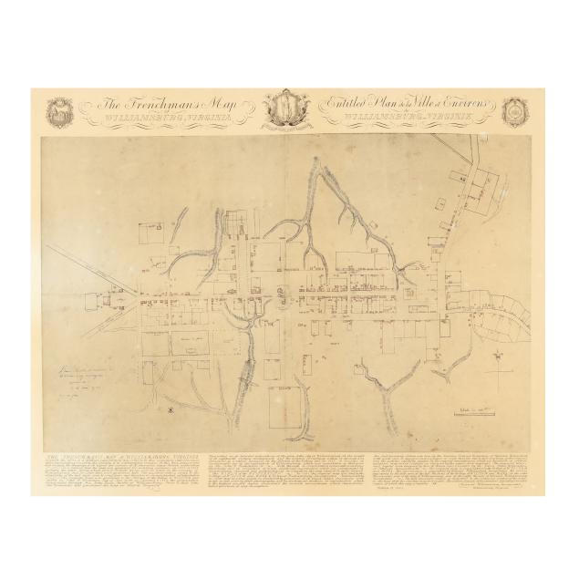
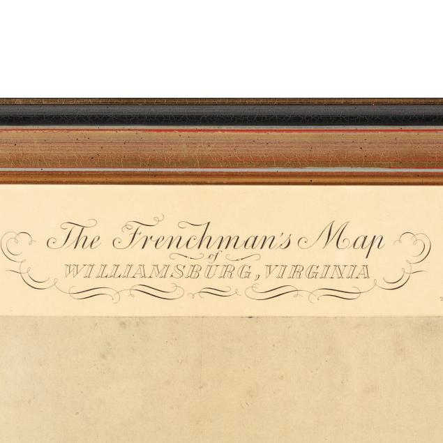
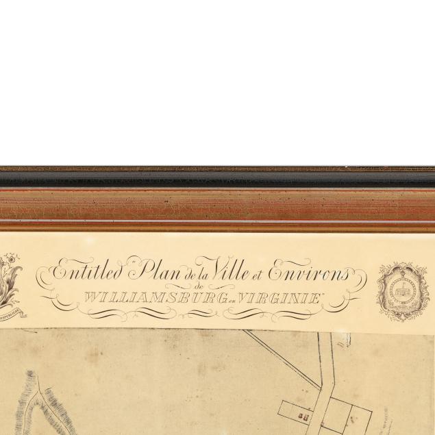
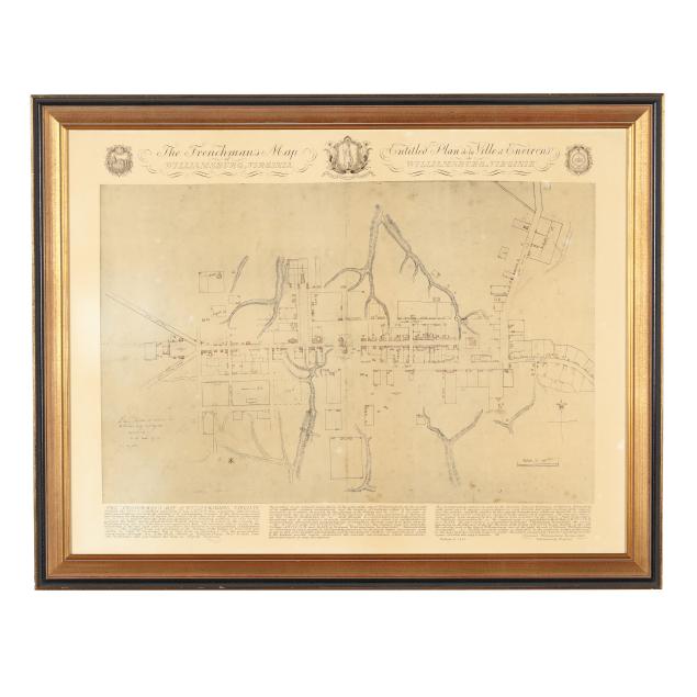
Scarce First Facsimile Edition of The Frenchman's Map of Williamsburg, Virginia
Explore more items like this one.
Visit our Historical Department Historical
Lot Details & Additional Photographs
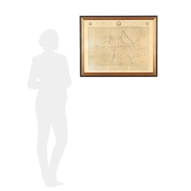
Sight size 21 7/8 x 28 3/4 in.; Frame dimensions 25 1/2 x 32 1/2 x 1 in.
From the Estate of G. Revell Michael, Jr., Virginia
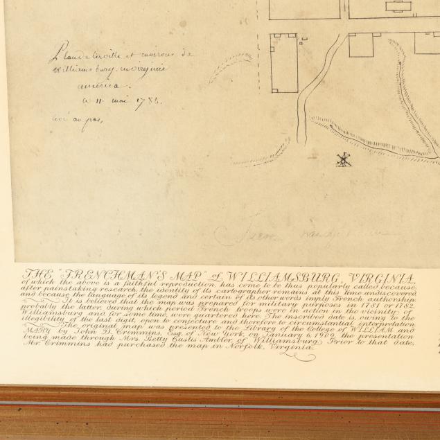
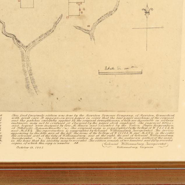
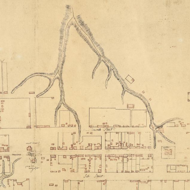
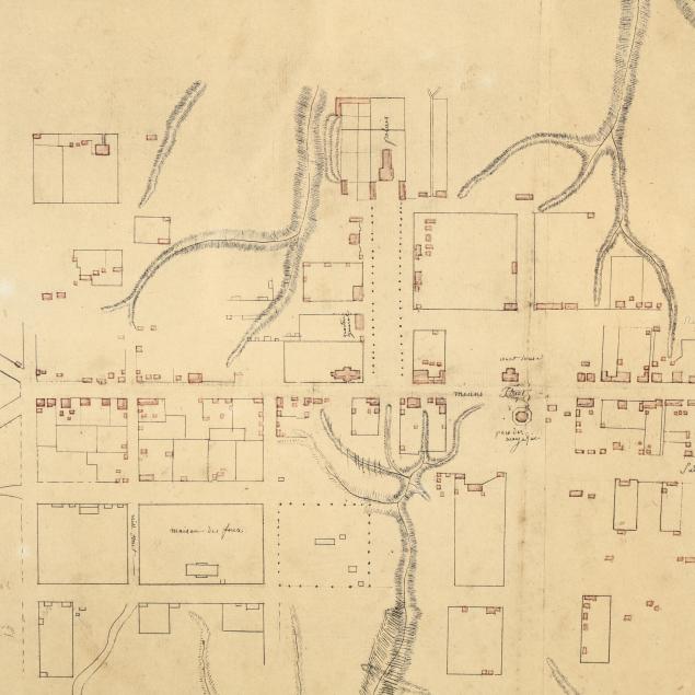
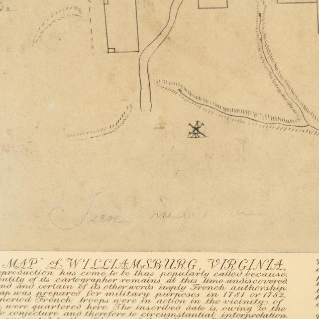
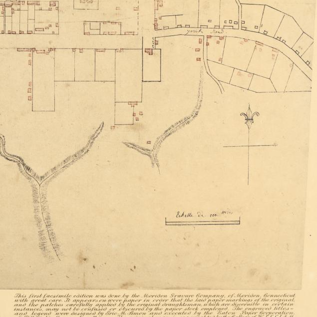
The original hand-drawn "Frenchman's Map," now held at the College of William & Mary, was created by an unknown French officer during the Revolutionary War. Dated May 11, 1782, it is an extremely detailed map of Williamsburg which served as the capital of Virginia until 1780. Following the war the map was lost, but it was rediscovered in 1909 in the pages of a book and immediately given to the College of William & Mary for preservation. While the original creator and purpose are unknown, the value of the map is clear; during the restoration of Colonial Williamsburg in the late 1920s its accuracy was used to aid in the efforts. Facsimiles were made by Colonial Williamsburg, Incorporated when the college lent the map to them in 1941. These mid-century reproductions are extremely scarce with the first facsimile in only a dozen institutions per WorldCat.
Scattered spotting and uneven toning, with additional small stains that all appear to be part of the print; light wear to frame; good estate condition; not examined outside the frame.